The First Water map is located on the west boundary of the Superstition Mountains Wilderness area in central Arizona. The terrain is lowland Sonoran desert, featuring large stands of the majestic Saguaro cactus, as well as many other desert plants and cactus. Excellent views of the Superstition Mountains and Weaver’s Needle can be seen to the southeast.
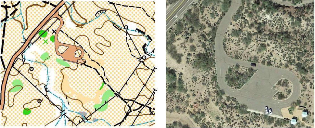
The map has been recently updated from the previous version, to include vegetation mapping and additional map detail. There are also some newly mapped areas. A sample map showing detail near the Needle Vista viewpoint is shown below.
There are some notable differences between the First Water map and other maps that are commonly used for National Ranking events. First, the map uses a non-standard contour interval of 20 feet / 6.1 meters, derived from a USGS topo map. Second, there are special uses of map symbols to reflect the desert environment:
Cholla cactus - If you are new to desert running, you should be aware of the perils of Teddy Bear Cholla cactus (see our guide to off-trail desert travel). Two solid green area symbols (Vegetation, Slow Running; Vegetation, Walk) are reserved for marking areas with dense Teddy Bear Cholla cactus plants. Note that these areas may appear sparse, and that visibility is good between plants, but running speed will be reduced - see the figure above, and the guide for explanation. For cactus patches which are too small for an area symbol, the green "X" point symbol is used.
Stony ground -- The ground is rocky just about everywhere on the map. On the flatter areas, normal running speed can be maintained. On most of the higher slopes, however, running speed will be reduced. The "Stony Ground" area symbol is used sparingly, indicating areas where the footing is loose, usually on steeper slopes.
The area has many abandoned jeep trails on the west part of the map. Where the roads are rarely traveled and may be difficult to detect on foot, the roads are shown as indistinct trails. Jeep roads (double-track) that are actively used as trails are shown as "footpath", while single-track trails as shown as "small footpath."
Being desert, nearly all reentrants will be dry. Depending on weather, there may be some water flowing in the larger stream beds.