|
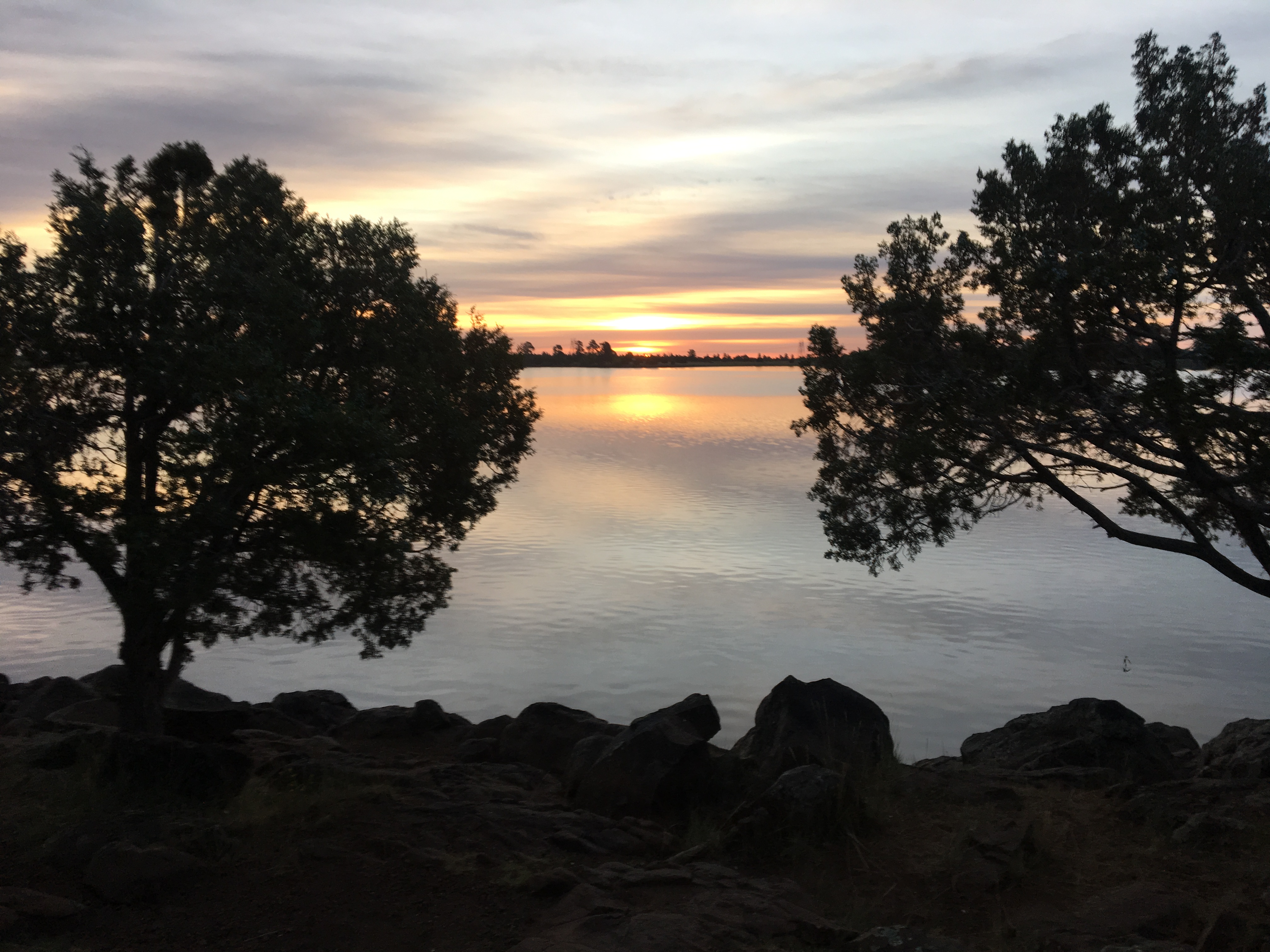
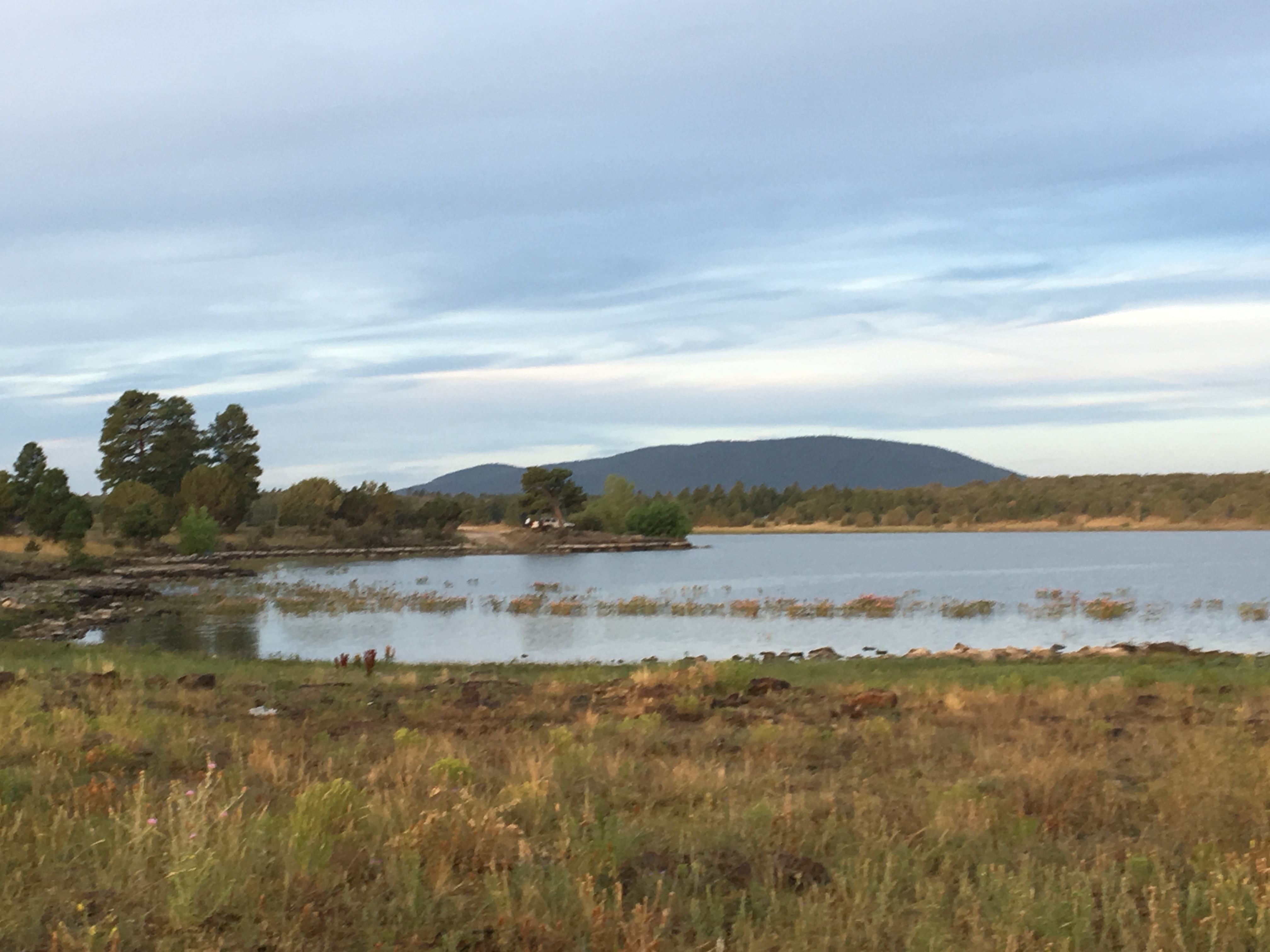
Ashurst Lake is a small lake located 20 miles southeast of Flagstaff. It is one of the few natural lakes in Arizona. Unlike other lakes in the region, it is fed by a more reliable water source and therefore retains water even while other lakes in the region, such as Mormon Lake, are mostly dry during drought periods. Ashurst Lake is a nice destination to escape the heat of Phoenix.
|
Directions
Ashurst Lake is located in the Coconino National Forest about 20 miles southeast of Flagstaff, AZ.
To get to the event site:
|
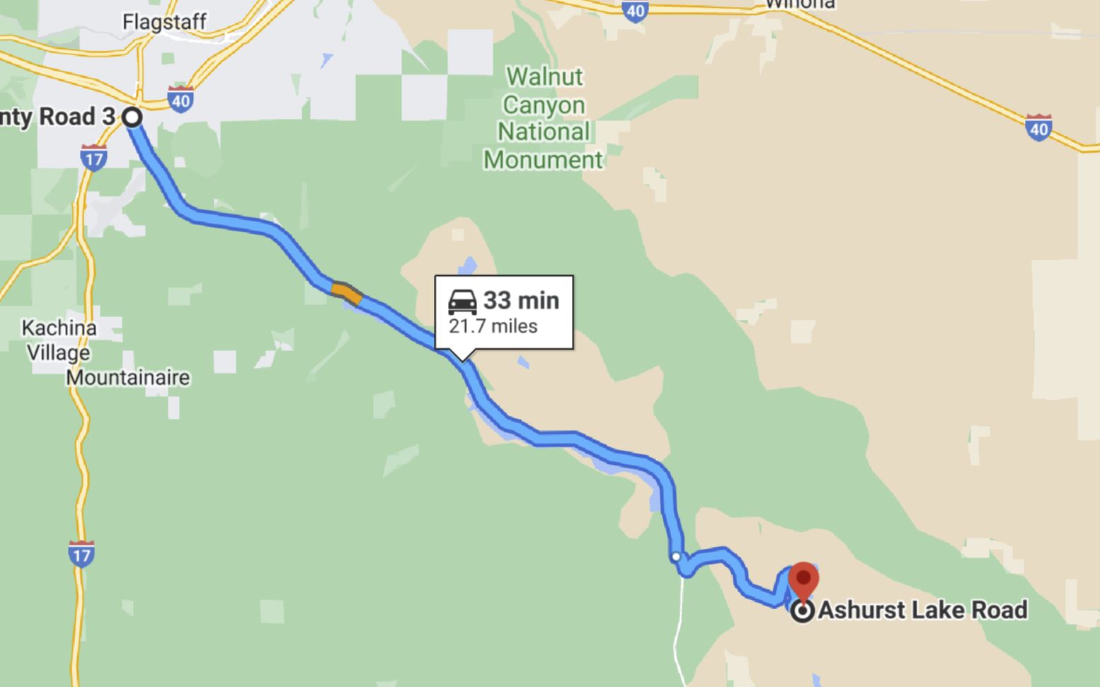
From Phoenix:
|
-
Travel north on I-17 approximately 140 miles to Flagstaff.
-
Just before arriving in Flagstaff, take exit 339 "Lake Mary Road".
-
Travel east/southeast on Lake Mary Road for 20 miles to Forest Service Road 82E (FS82E).
-
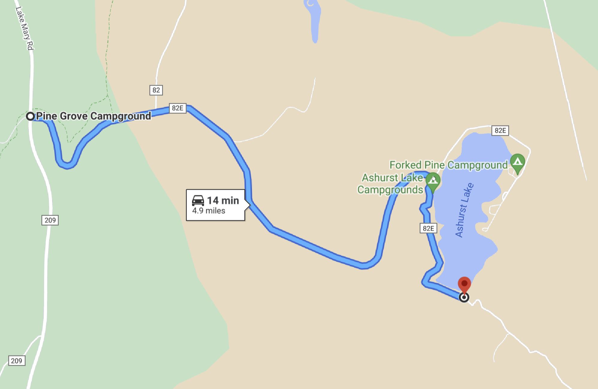
Travel east on FS82E approximately 5 miles to Ashurst Lake. This is an all-weather gravel road.
-
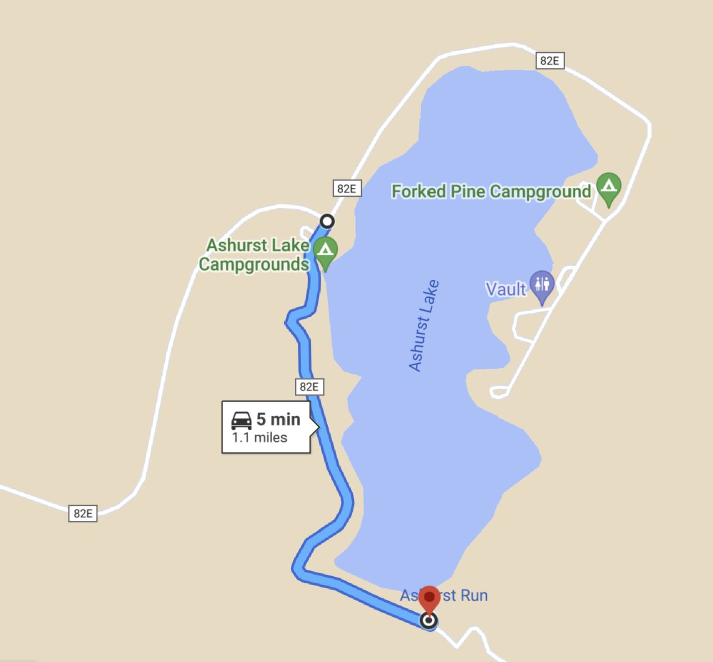
Upon arriving at Ashurst Lake, turn right, then continue 1.1 miles to the parking area at the south end of the lake.
|
![[image:O flag]](../Images/Directions.png) OpenStreetMap Directions
OpenStreetMap Directions
Google Map Directions
![[image:O flag]](../Images/Map_pin_icon.png) Google Map Placemark
Google Map Placemark
|
Maps
Click on a map below to open an equivalent Google map in a separate window.
|
From Flagstaff, Lake Mary Road
|
|
|
Turn on Forest Service Road 82-E
|
|
|
Start/Finish Location
|
|
|