|
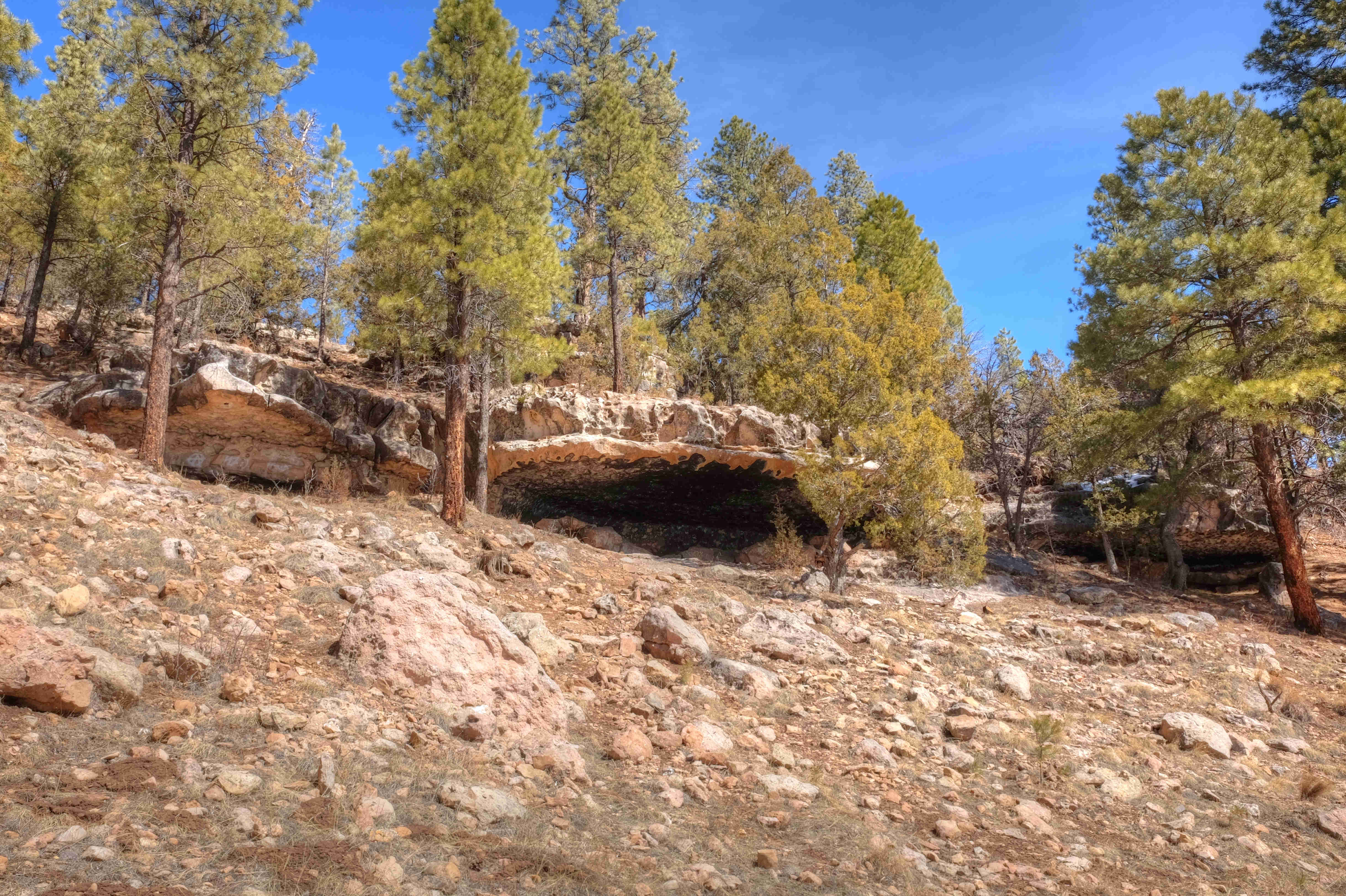
The Fay Ridge Trailhead event site is located in an open pine forest 4 miles southeast of Flagstaff off Lake Mary Road. The event headquarters are located at the Fay Ridge Trailhead, a popular starting point for hiking, mountain biking, and off-road (motorized) dirt biking. The hills surrounding the trailhead includes climbs up to 200 feet as well as parallel re-entrant features that funnel water to drainages at the base of the hills. The area also contains some with interesting rock features. We hope you'll consider joining us for events at the Fay Ridge Trailhead event site.
|
Directions
|
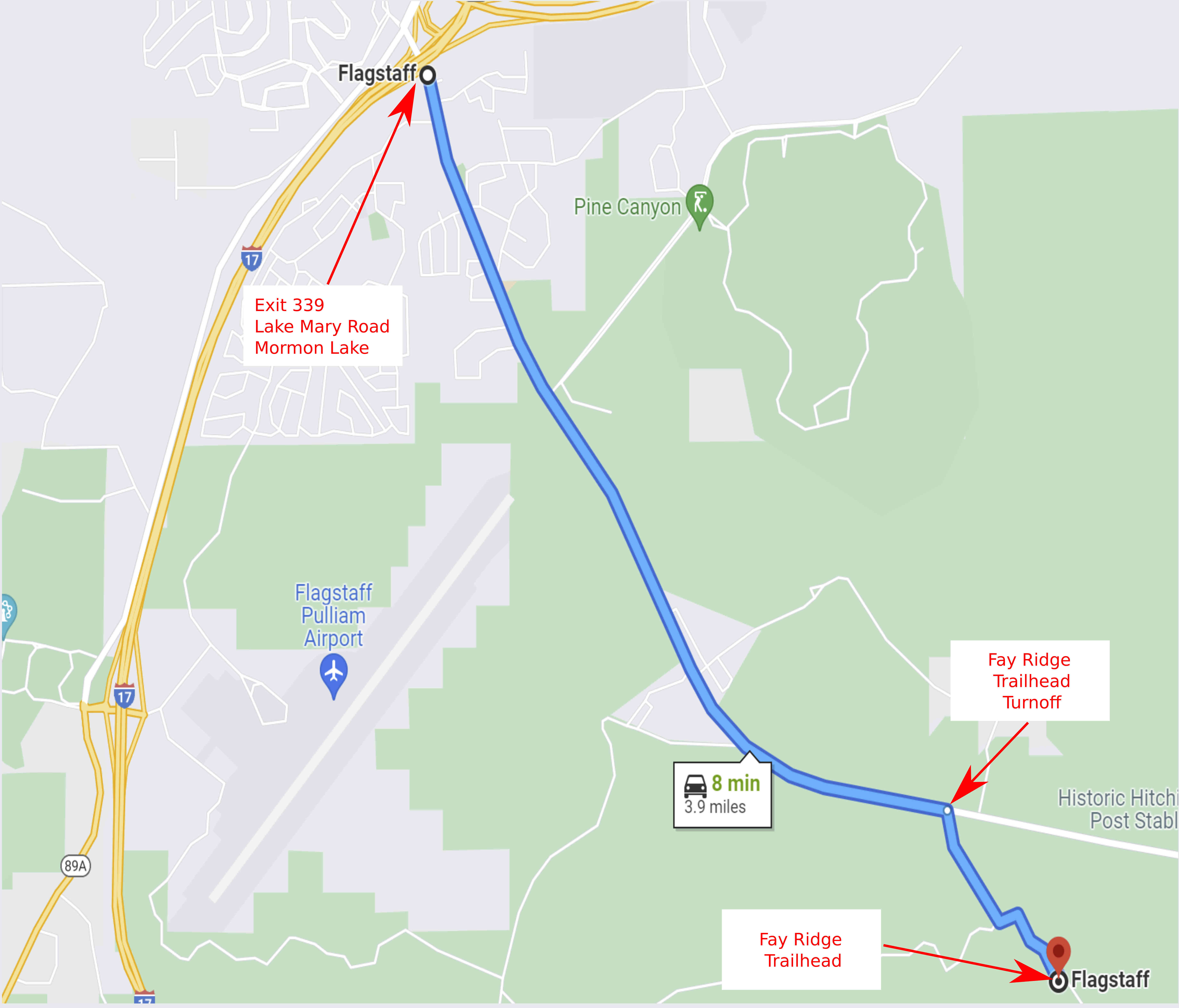
The Fay Ridge Trailhead event site is located in the Coconino National Forest about 3.9 miles southeast of I-17 exit 339. Participants can approach the event site from a number of different directions. The instructions below are limited to the route from I-17 exit 339 to the event site.
|
To get to the event site:
|
From I-17 Exit 339:
|
-
Traveling north on I-17, take exit 339 onto Lake Mary Road. The exit is just before the I-17/I-40 interchange.
-
Turn right and travel east/southeast on Lake Mary Road for 3.2 miles to Forest Service Road 867. The turnoff is marked by a sign "Fay Ridge Trailhead".
-
Turn south on FS 867 and continue 0.7 miles to the event headquarters on the west side of the road. Look for the orange/white orienteering signs.
|
Maps
Click on a map below to open an equivalent Google map in a separate window.
|
From I-17 Exit 339
|
|
|