Directions
Google Maps Custom Instructions
-
Click here to automatically open a browser window to a Google Maps webpage with a marker at Glendale Community College.
(Destination Lat/Lon = 33.569858, -112.189863)
-
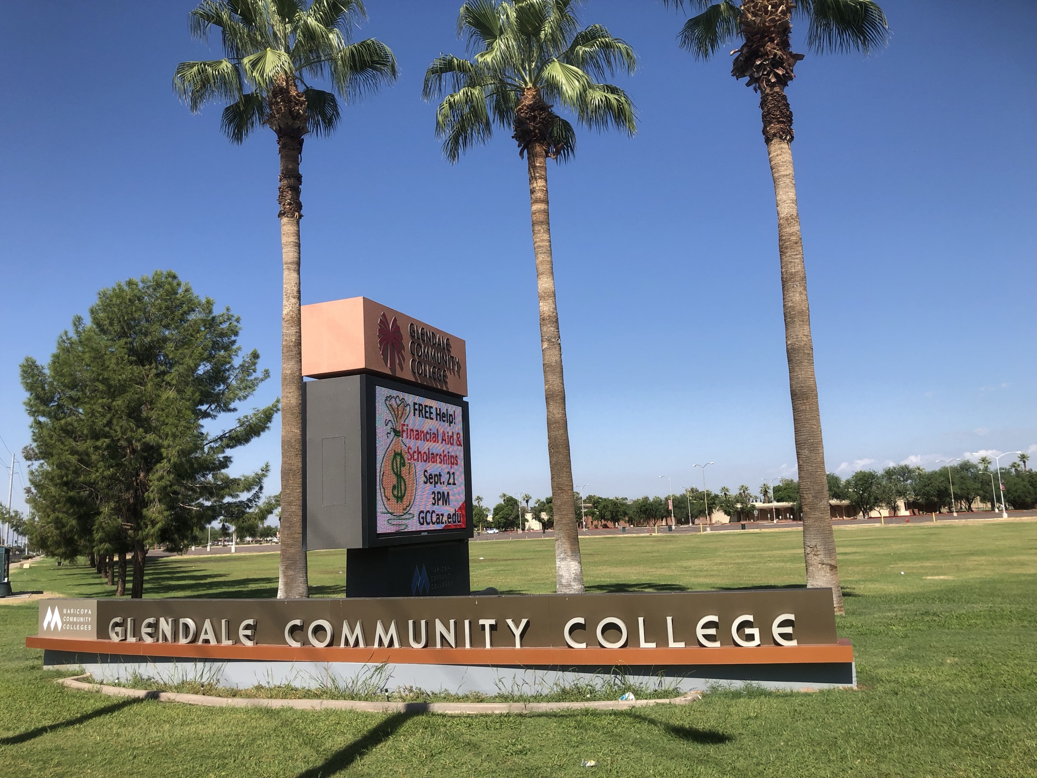
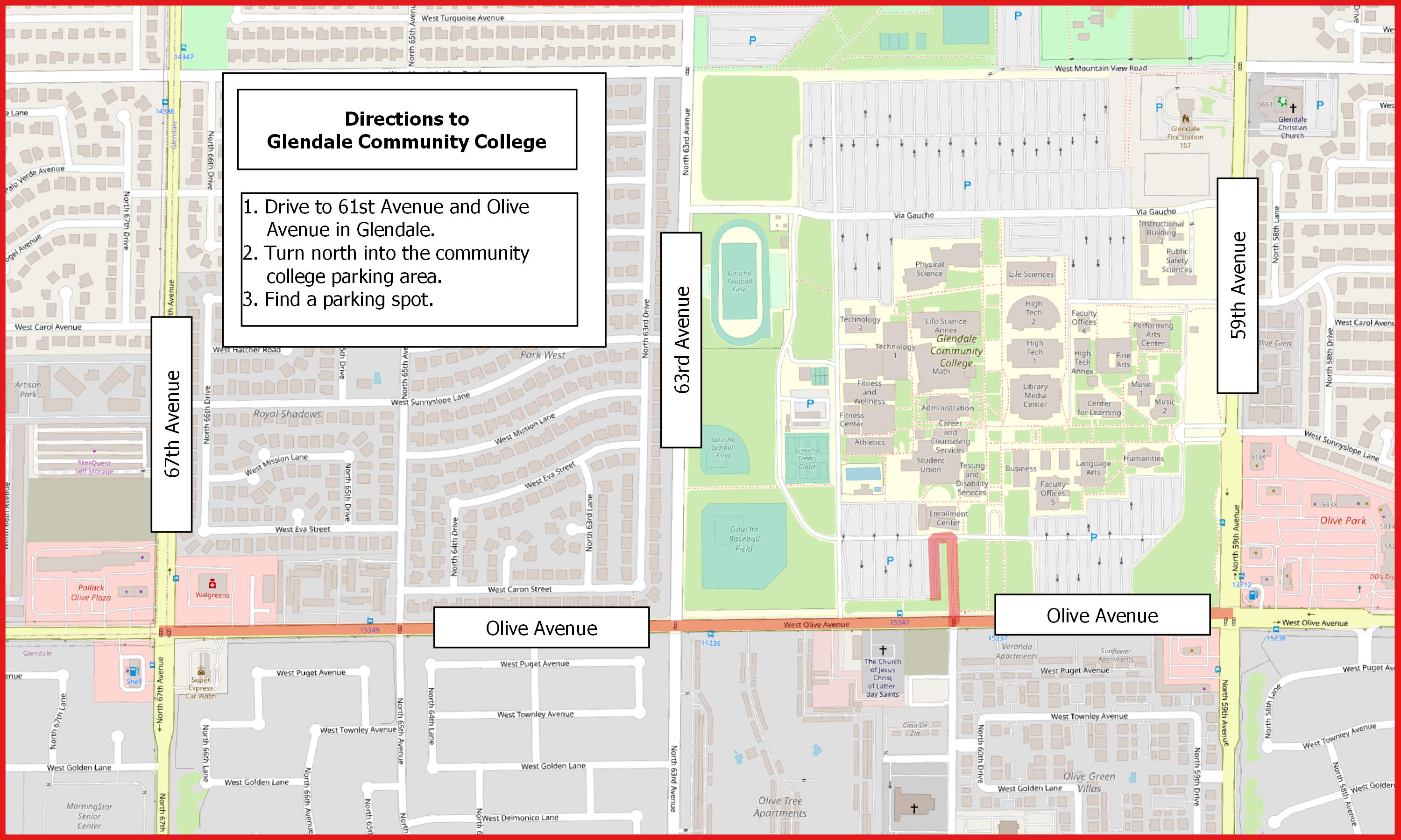
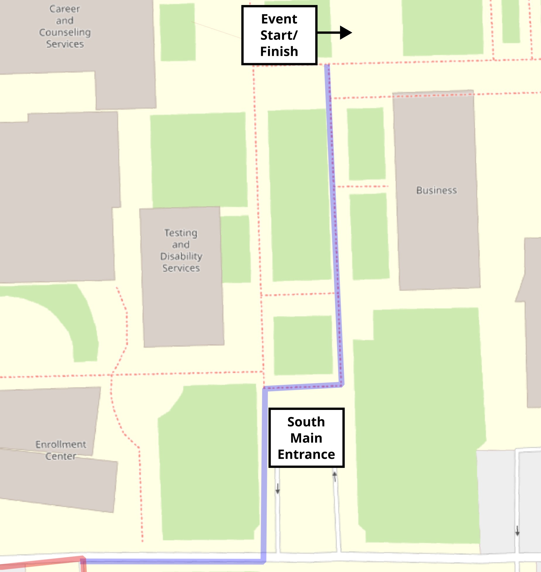
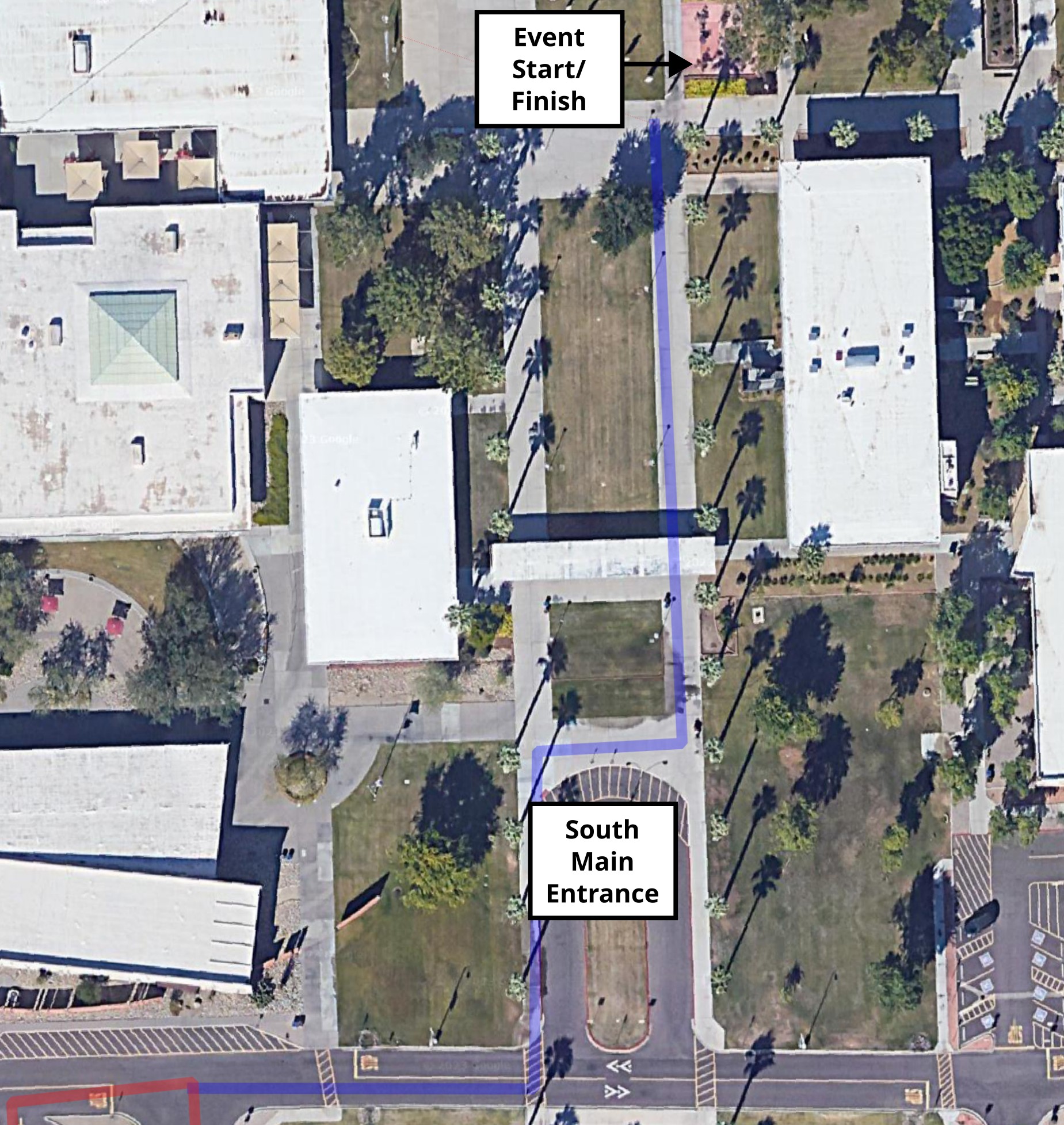
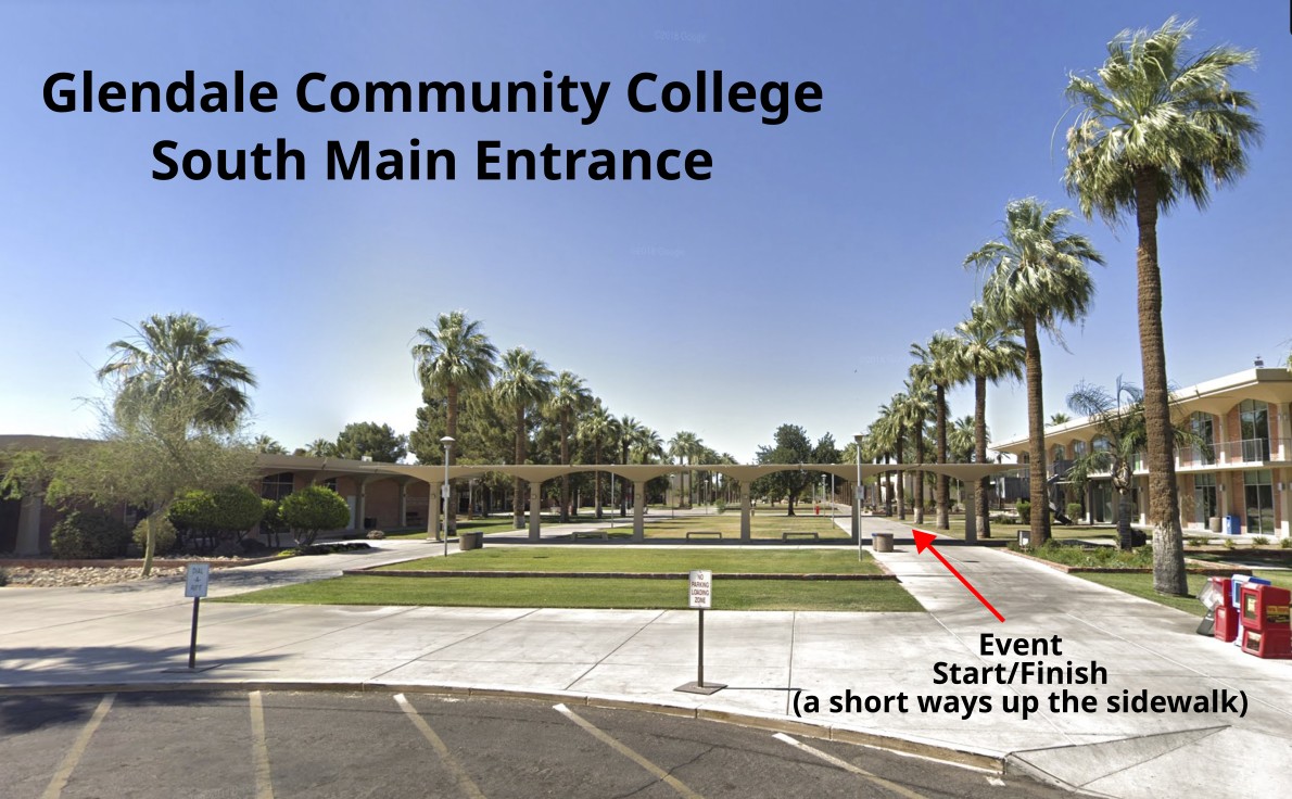
The parking area is located on the south side of the campus. It's best to drive to the intersection of 61st Avenue and Olive Avenue, then drive north onto the campus. There's ample parking even if we get some kind of world-record attendance. Once parked, look for the orange and white orienteering bag just past the main south entrance to the campus. The start/finish is ~50 meters north of the entrance.
Traditional Directions
From the south, north, and east:
-
Drive to 59th Avenue and Olive Avenue.
-
Travel west on Olive Avenue 0.2 miles to 61st Avenue. The street sign here indicates 61st Avenue to the south, Glendale Community College Drive to the north.
-
Turn north onto the community college campus. Find your favorite parking spot.
-
Once parked, walk to the main south entrance of the campus. Look for the orange and white orienteering sign. Walk north on the sidewalk approximately 200 meters to the event start/finish, at a picnic table just west of the High Tech Building 1.
From the west:
-
Drive to 67th Avenue and Olive Avenue.
-
Travel east on Olive Avenue 0.6 miles to 61st Avenue. The street sign here indicates 61st Avenue to the south, Glendale Community College Drive to the north.
-
Turn north onto the community college campus. Find your favorite parking spot.
-
Once parked, walk to the main south entrance of the campus. Look for the orange and white orienteering bag approximately 50 meters north of the main entrance.
|