
Lone MountainUsery Pass Road, Tonto National Forest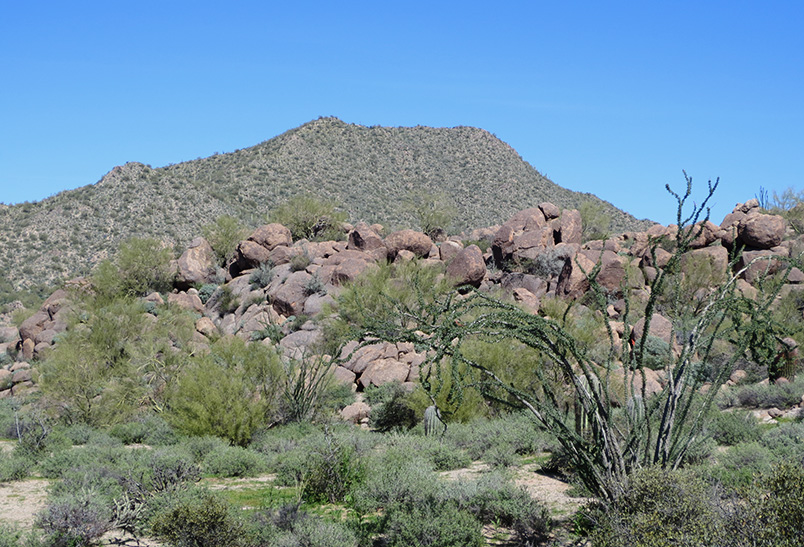
|
|
Our Lone Mountain event site is located at the Lone Mountain Trailhead, on the east side of Usery Pass Road in the Tonto National Forest, between mileposts 22 and 23. We hope you enjoy exploring the area while practicing your navigation skills. DirectionsGoogle Maps Custom Instructions
Traditional Directions(Click a link below to open directions in a separate tab.) The easiest way to get to the Lone Mountain Trailhead is coming from the south. Follow North Ellswroth Road/Usery Pass Road from past milepost 22 to the parking area on the east side of the road. There are a couple ways to get to Usery Pass Road.
|
Maps
(Click a map below to open directions in a separate tab.)
| Loop 202 and McKellips Road |
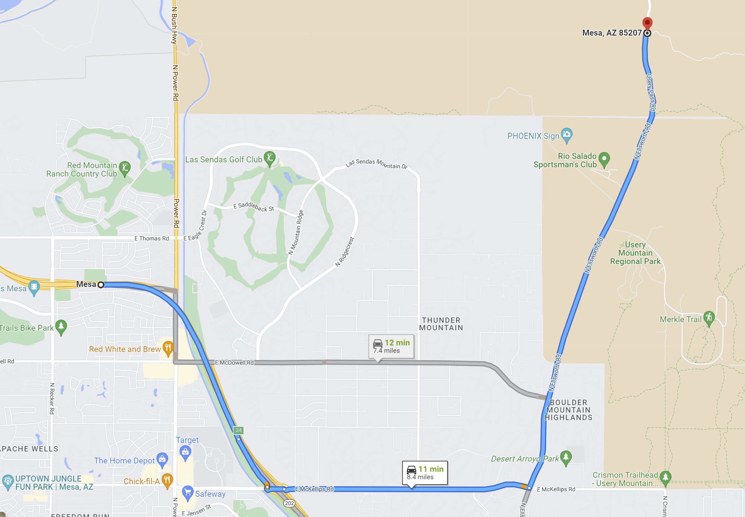
|
| Loop 202 and University Avenue |
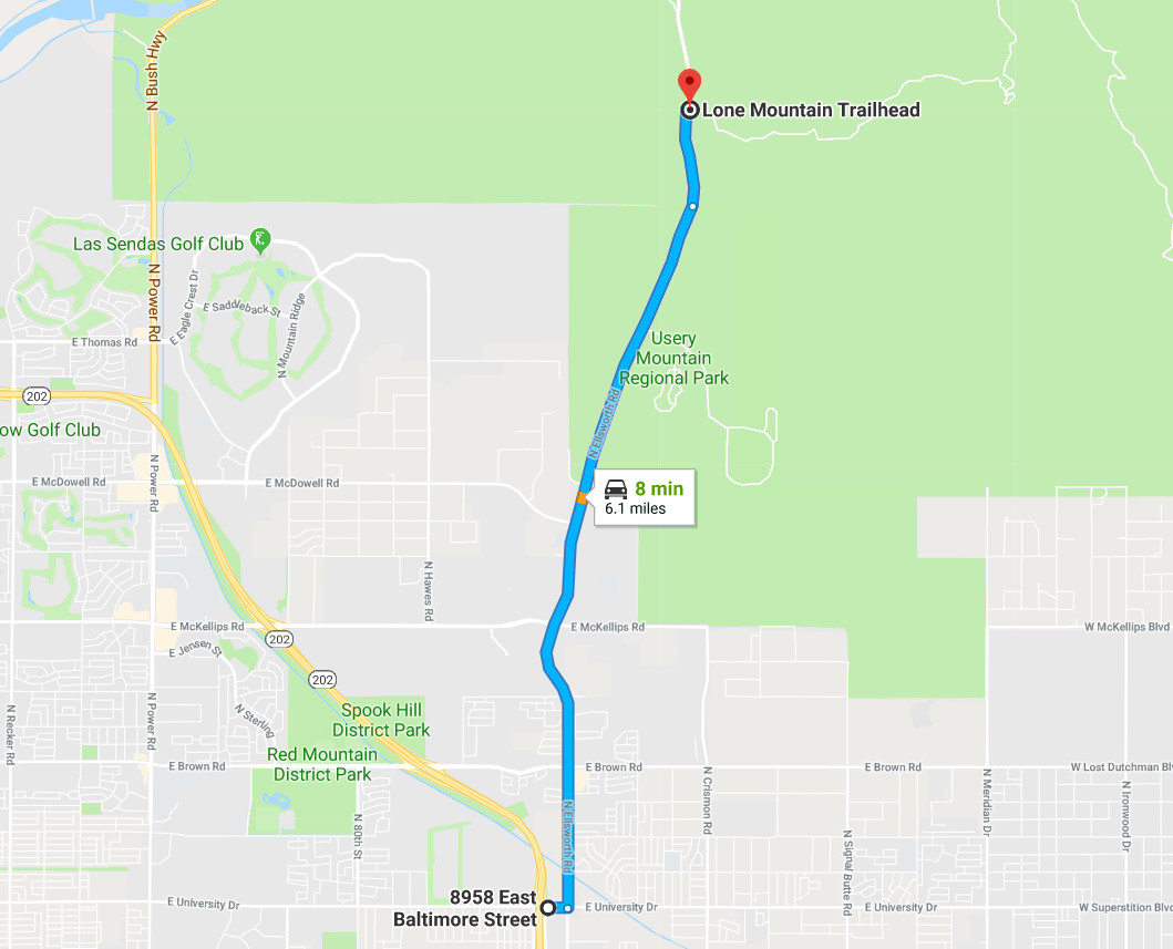
|