Schoolhouse Gulch
Prescott, AZ

[image:O flag] Safety Plan

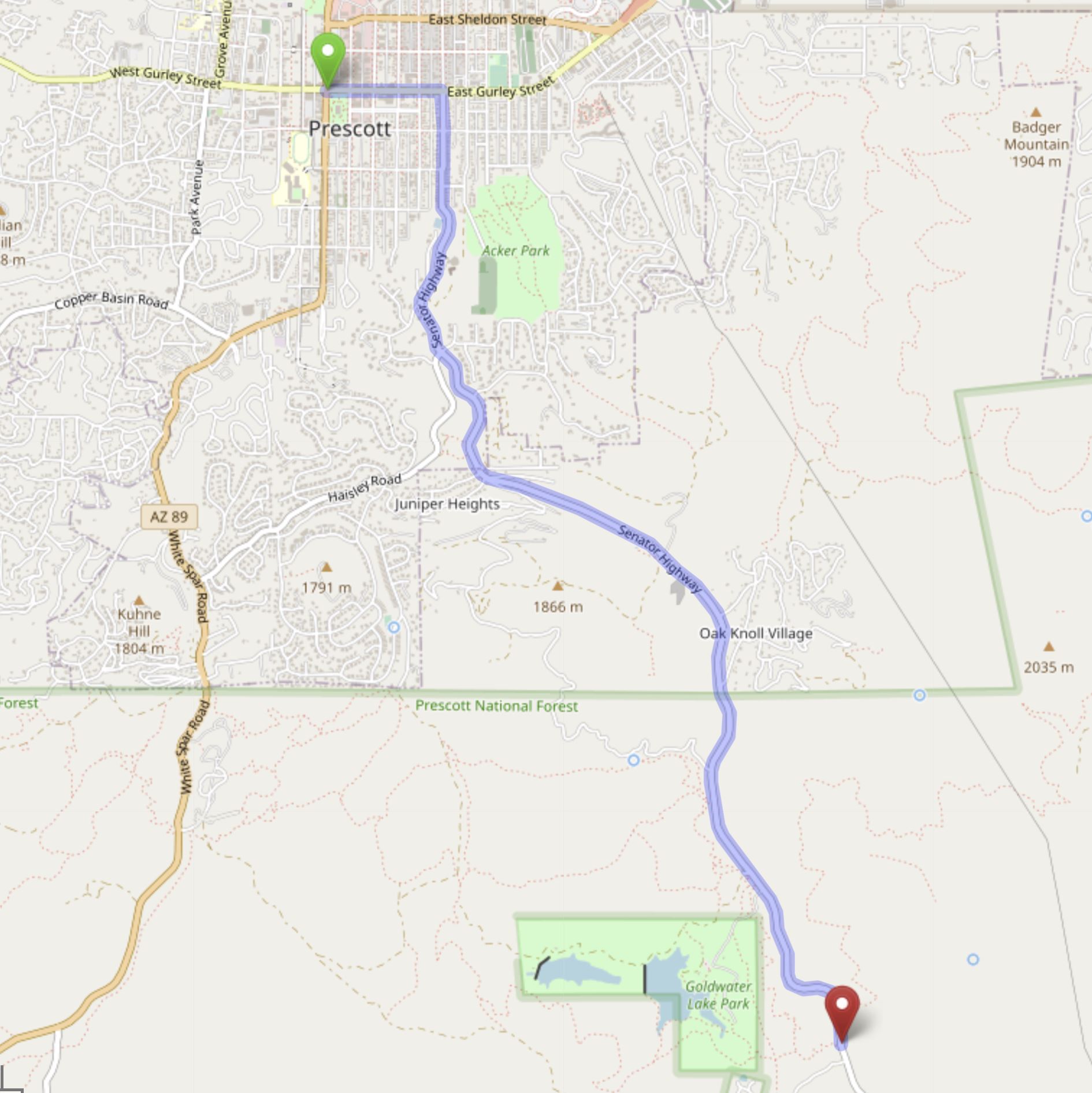
The Schoolhouse Gulch event site is located in the pine forest surrounding the Senator Highway about 4.5 miles south of central Prescott. Similar to areas surrounding Thumb Butte, the Schoolhouse Gulch site is filled with varied terrain and water features that make interesting navigation challenges in the middle of a poderosa pine forest. Thorny desert vegetation is limited at elevations above 6000 feet, but you'll still find areas of thick vegetation. We recommend leg coverings and long sleeves.

Directions

Google Maps Custom Instructions

  • Click here to automatically open a browser window to a Google Maps webpage with a marker at Yavapai College.
    (Destination Lat/Lon = 34.49493,-112.4391062)

Traditional Directions

    From the intersection of Gurley and Montezuma Streets in Central Prescott:
  • Travel east on Gurley Street 0.4 miles to South Mount Vernon Avenue.
  • Turn south on Mount Vernon Avenue (Senator Highway), then continue south for 4.1 miles to the Watershed Trailhead on the east side of the road.

Maps

Click on a map below to open a link to Google Maps in a separate window.

Directions to the Watershed Trailhead from Central Prescott
SchoolhouseGulch