|
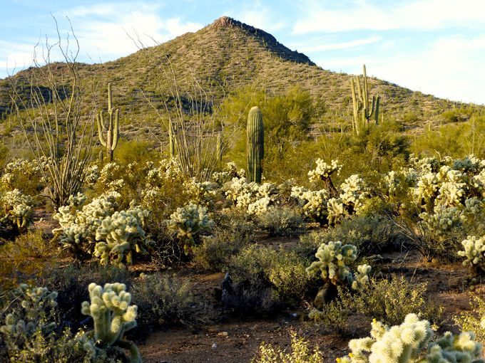
Our Sophie's Flat event site is located 4.6 miles northeast of Wickenburg in an area that was once part of the Wickenburg Dude Ranch. The low hills and desert vegetation around Red Top Peak provide an excellent opportunity to practice your navigation skills.
|
Directions
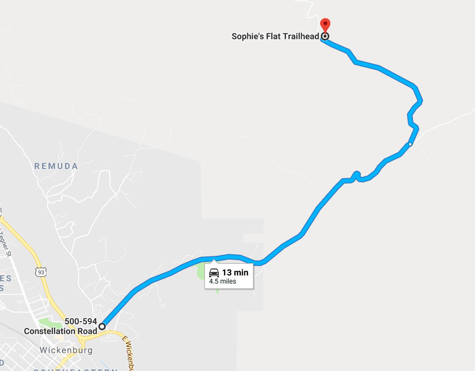
To get to the Sophie's Flat event site:
-
Take your favorite route to the east side of Wickenburg, just east of the large roundabout where US 93 and US 60 split.
-
Immediately behind McDonald's is Constellation Road. Follow Constellation Road northeast for 3.1 miles. The road is paved for 2.2 miles then continues as a gravel road for another 0.9 miles.
-
After 3.1 miles on Constellation Road, take the left fork onto Blue Tank Road.
-
Continue on Blue Tank Road 1.4 miles to the Sophie's Flat trailhead.
|
Maps
Click on a map below to open an equivalent Google map in a separate window.
|
Directions to the Sophie's Flat Trailhead
|
|