
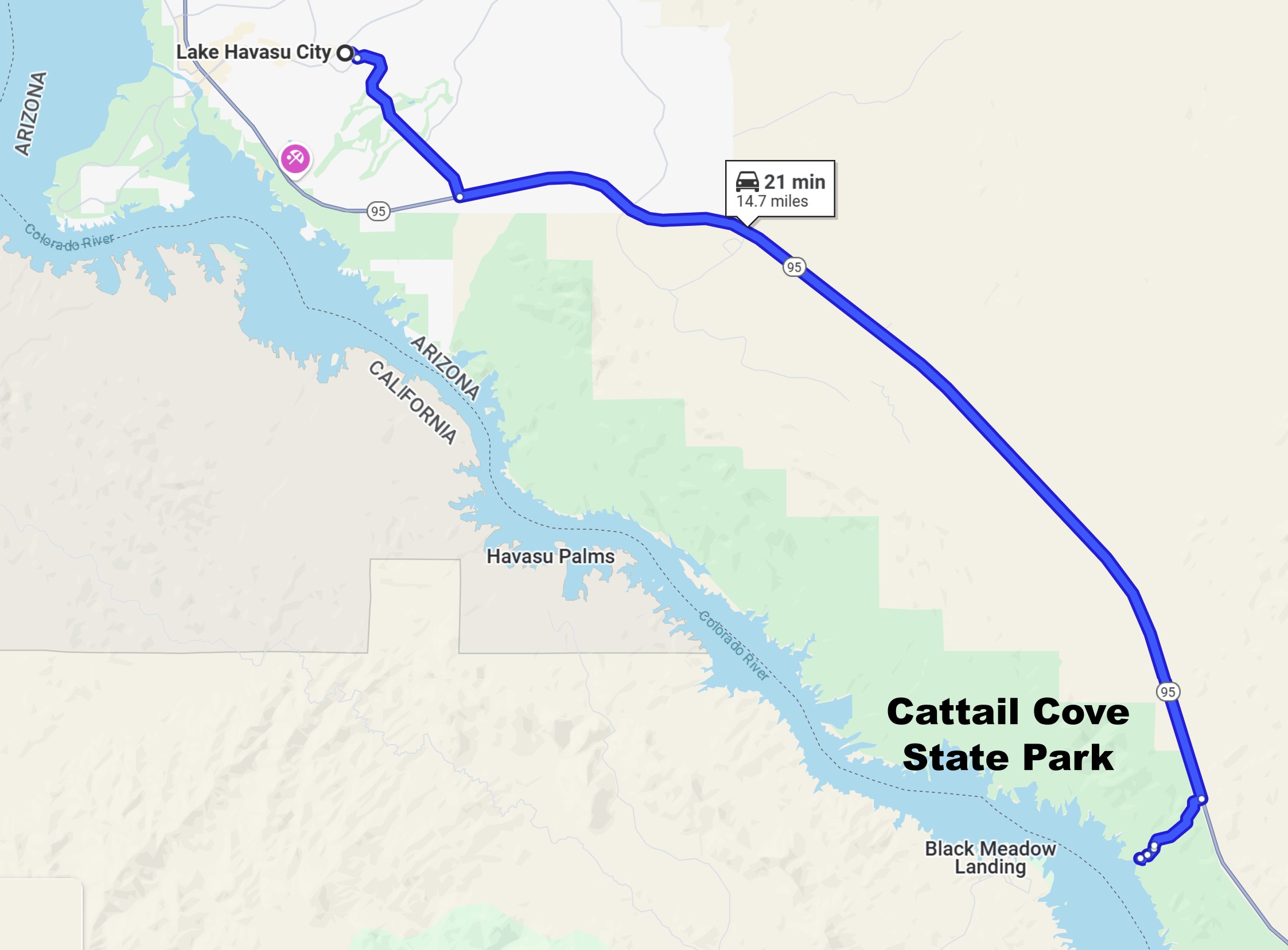
Directions to Cattail Cove State Park~15 miles south of downtown Lake Havasu City, AZ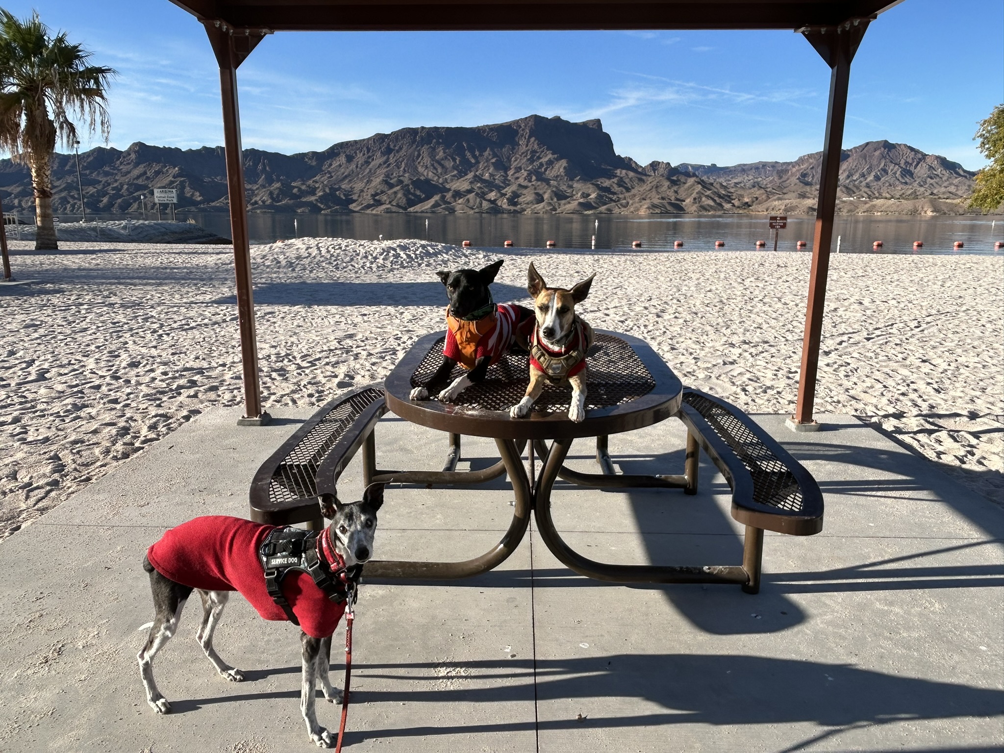
|
|
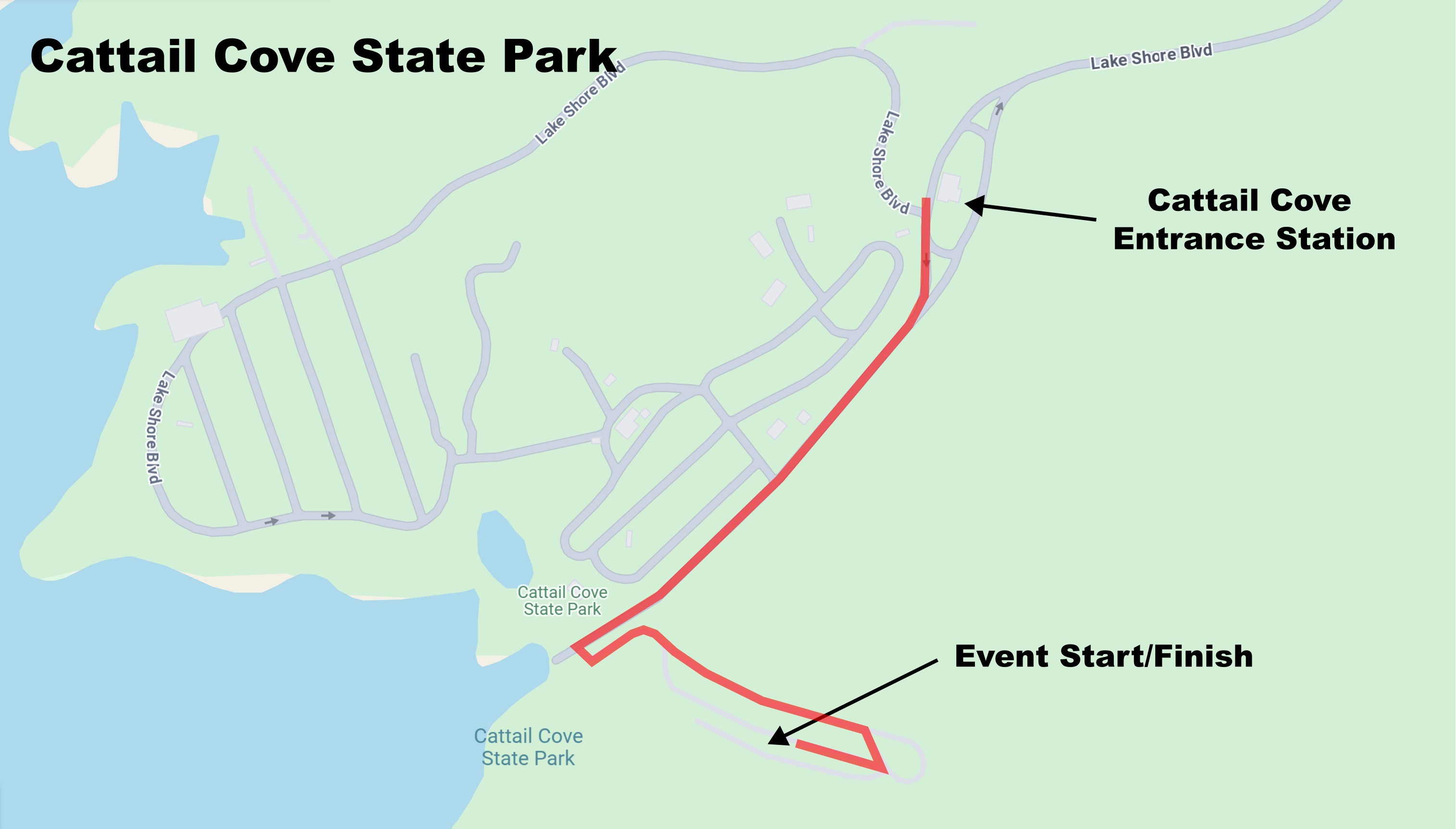
Cattail Cove State Park is conveniently located off AZ-95 approximately 15 miles south of Lake Havasu City, just south of milepost 168. Temperatures in early November through late March can rise above 80F. Due to low humidity, nighttime temperatures at the same time drop into the low 40's. Temperatures in October and April can approach 100F, while summer temperatures approach 120F during the day. The desert vegetation in the area is sparse. The park is surrounded by fairly rugged terrain. Orienteering courses set around Cattail Cove take advantage of the very runnable terrain, but steep slopes slow progress. The lake is quite popular for spring break and summer boating. We hope you'll join us for events we offer at the state park. DirectionsCattail Cove State park is located ~15 miles south of downtown Lake Havasu City, AZ. The directions here guide you to the Cattail Cove State Park Entrance Station and the start location inside the park. To get to Cattail Cove State Park from Lake Havasu City:• Travel northeast on the park road to US-95. • Travel north-northwest on US-95 14.8 miles to Mesquite Avenue. • Turn right and travel east on Mesquite Avenue 0.6 miles to Civic Center Lane. • Turn left and travel north on Civic Center Lane ~0.1 miles to the emergency room.
|
Maps
Click on a map below to open an equivalent Google map in a separate window.| From Lake Havasu City, AZ |
|
| Directions from the Entrance Station |
|