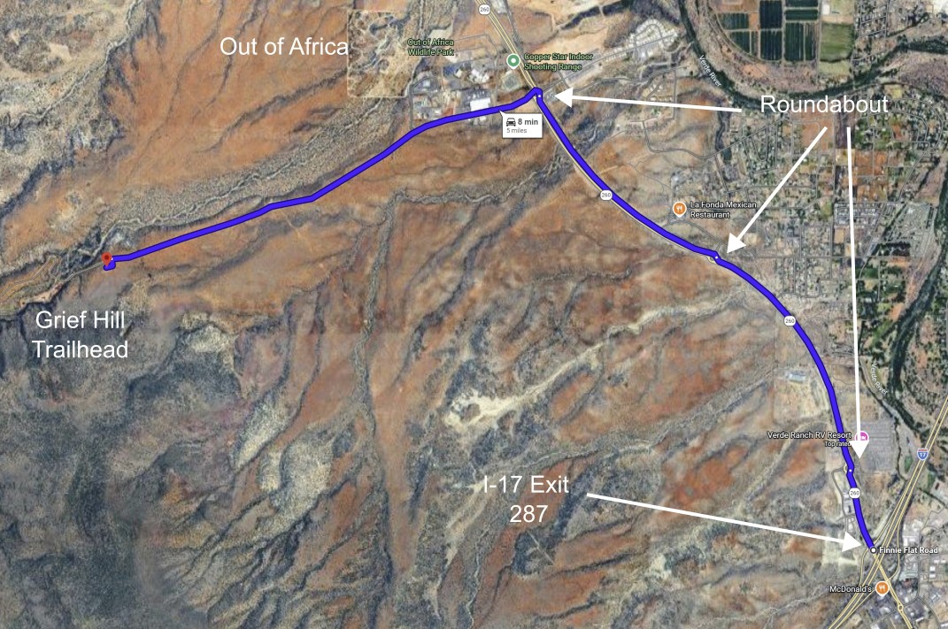
Grief Hill Trailhead
~5 miles West of I-17 Exit 287 (Camp Verde)
![[image:O flag]](../Images/Map_pin_icon.png) Google Map Placemark
Google Map Placemark
![[image:O flag]](../Images/FirstAid.png) Safety Plan
Safety Plan
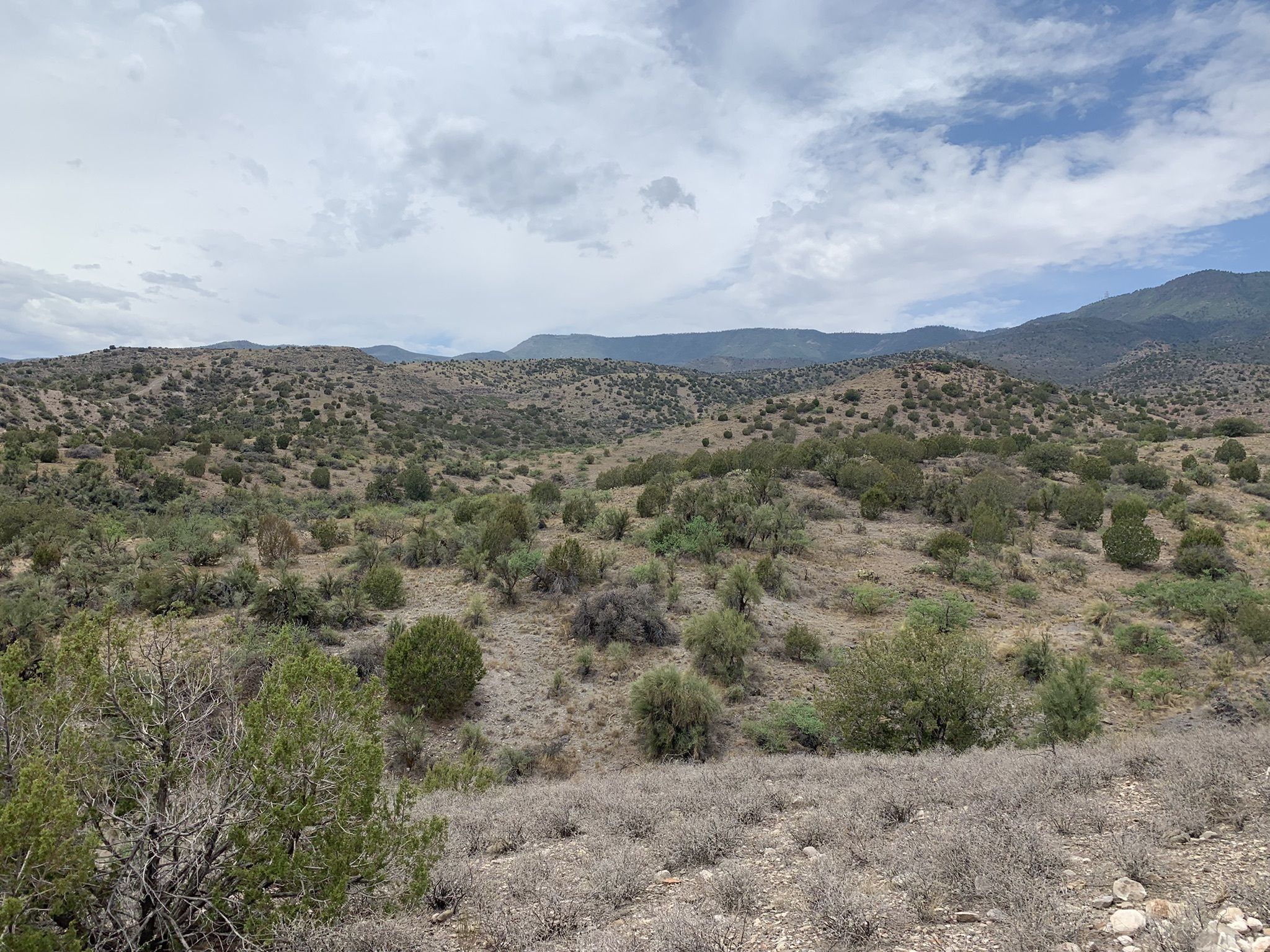
We have opened another event site in the Camp Verde/Cottonwood area. The Grief Canyon Trailhead is an excellent location for practicing your navigation skills. The area is filled with parallel re-entrants nestled into the foothills surrounding Mingus Mountain. The approach to the trailhead is easy, with paved roads leading to a 1-mile drive on an all-purpose gravel road to the trailhead. We hope you'll consider joining us at our newest orienteering event site.
Directions
- From I-17 Exit 287
-
From I-17 exit 287, travel west 2.8 miles to the third roundabout. Exit the roundabout at 9:00 to the southwest on Cherry Creek Road (FS372). Note: Do not exit at 3:00 to the northeast. This also is marked "Cherry Creek Road", but is the opposite direction from the Grief Hill Trailhead.
-
After exiting the roundabout to the southwest, continue 1.2 miles on the paved West Cherry Creek Road, then an additional 1 mile on the gravel road, to the trailhead.
Maps
Click on a map below to open an equivalent Google map in a separate window.
|