|
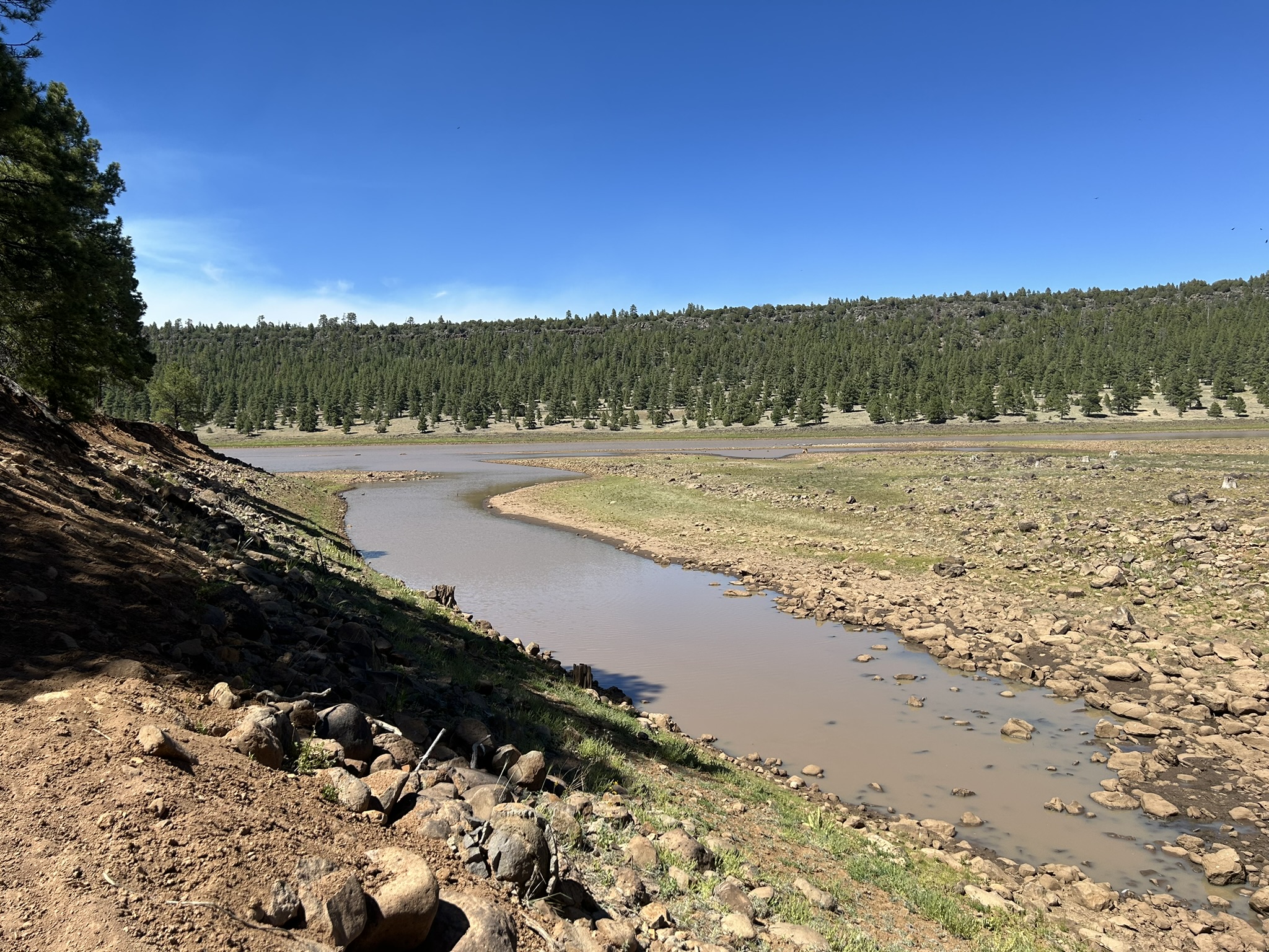
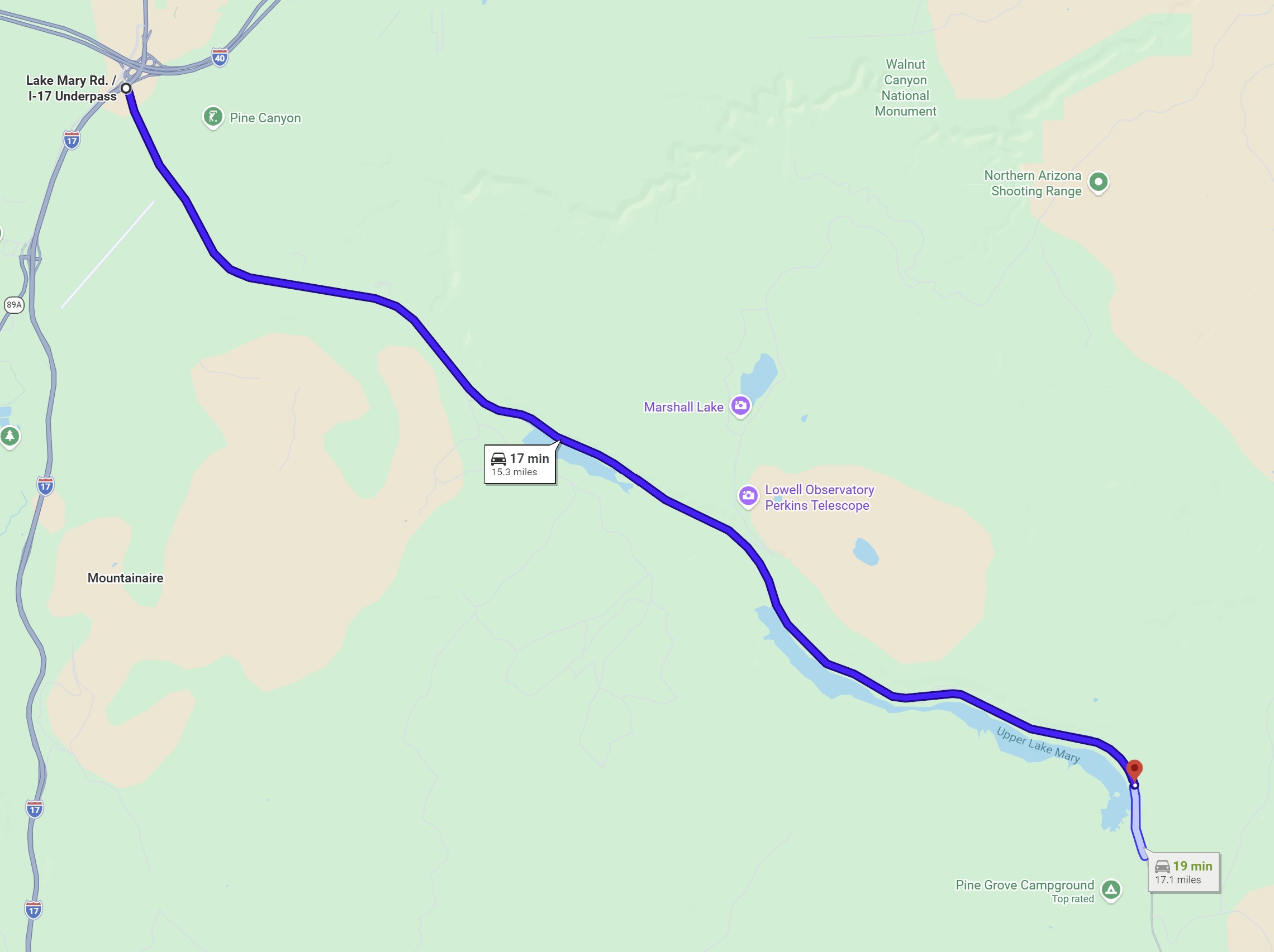
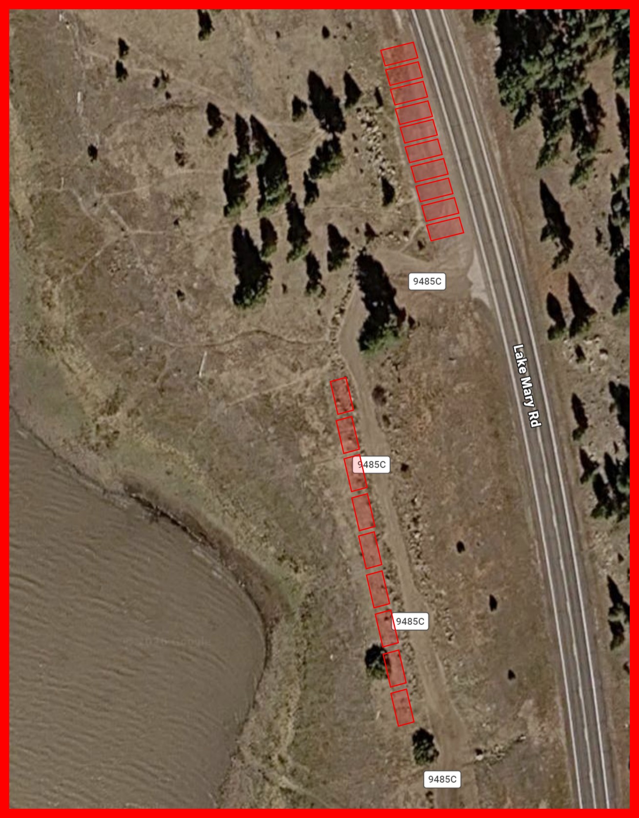
The Lake Mary East event start/finish is located along Lake Mary Road approximately 15.3 miles east of where Lake Mary Road goes under I-17. Parking for the start/finish is at a turnout on the south/west side of Lake Mary Road between milepost 329 and 328. The turnout is located at the north entrance to Forest Service Road 9485C. If participants are careful about how they park, 15 vehicles can park in the turnout itself. Additional parking is recommended down the rough Forest Service Road 9485C.
Note: While parking is possible along Lake Mary Road, participants are in no circumstances allowed to park on the pavement of the road itself. Parking on the paved shoulder is also not allowed.
| 
![[image:O flag]](../Images/Directions.png) Google Maps Directions
Google Maps Directions
![[image:O flag]](../Images/Map_pin_icon.png) Google Map Placemark
Google Map Placemark
![[image:O flag]](../Images/FirstAid.png) Safety Plan
Safety Plan