
Directions to Pinewood TrailheadMunds Park, AZGoogle Placemark 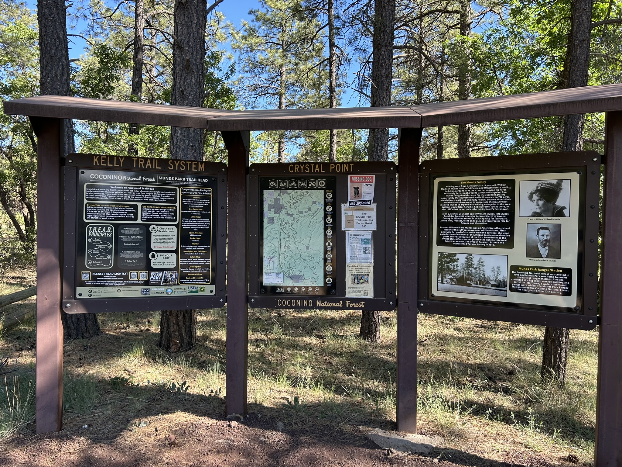
|
|
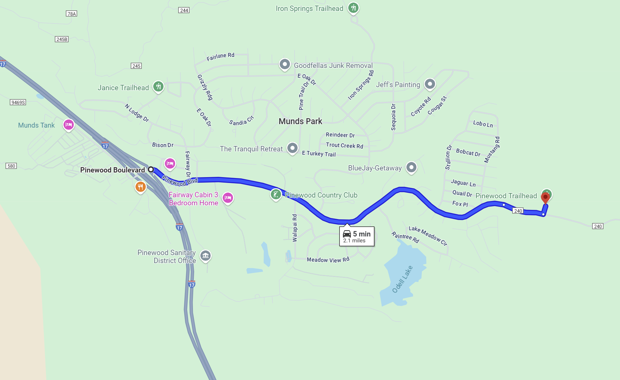
The Pinewood Trailhead is located in a nice forested area just east of Munds Park. Forest thinning in the area is ongoing, so many parts of the forest are considerably less dense than other parts of Coconino National Forest. Some areas are stripped bare of trees with large stacks of cut wood. The area is mostly runnable with several small minor drainages and a number of single-track trails open to motorless and motorized travel. We hope you'll enjoy spending a nice morning navigating in another part of the national forest. DirectionsThe Pinewood Trailhead is located east of Munds Park, south of Flagstaff 18 miles to exit 322, then east on Pinewood Boulevard 1.9 miles until the pavement ends, finally 0.2 miles further east on FS240 to the trailhead. The trailhead is on the north side of FS240. From Flagstaff:
|
Maps
Click on a map below to open an equivalent Google map in a separate window.| From I-17 Exit 322: |
|