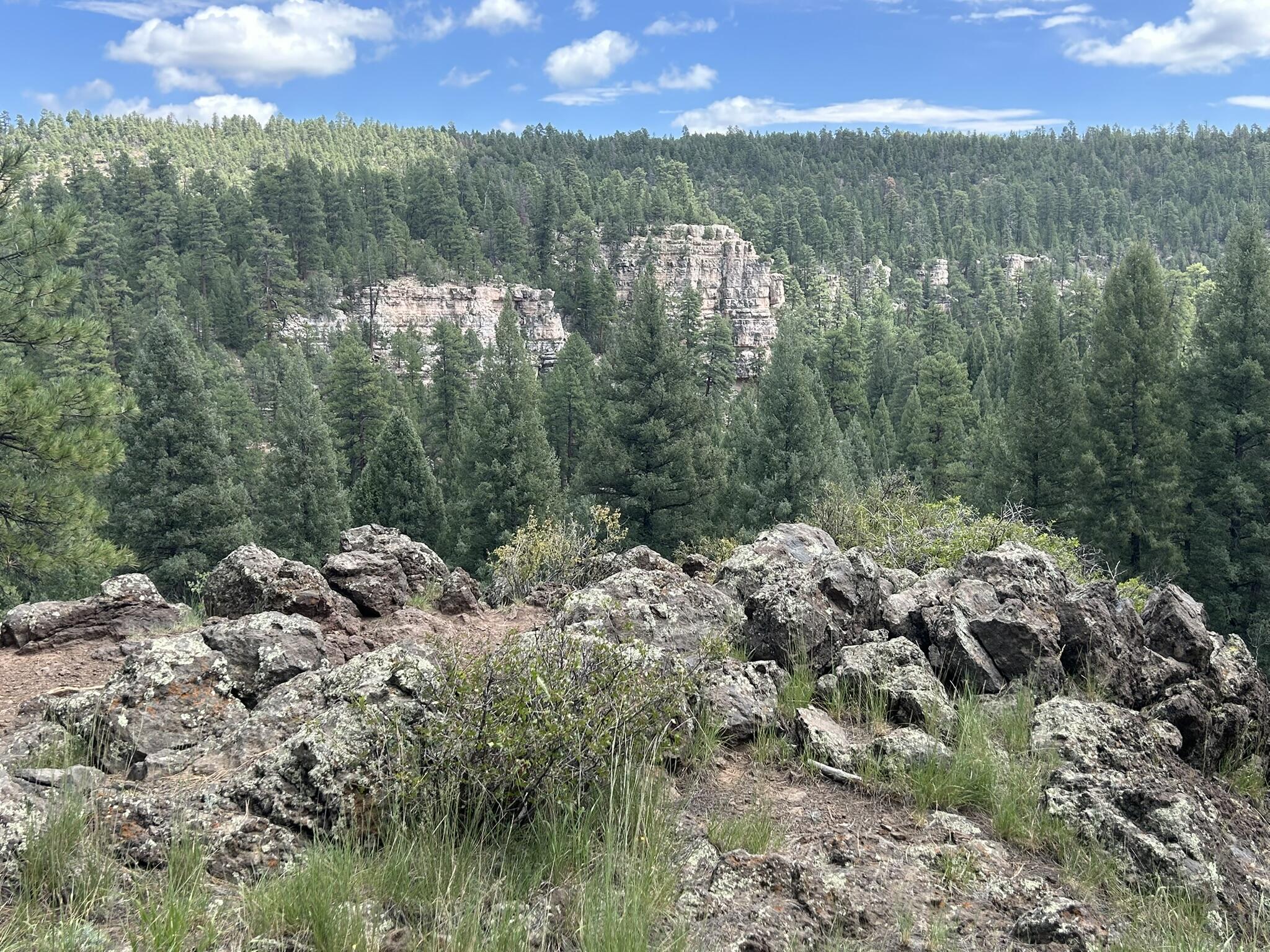
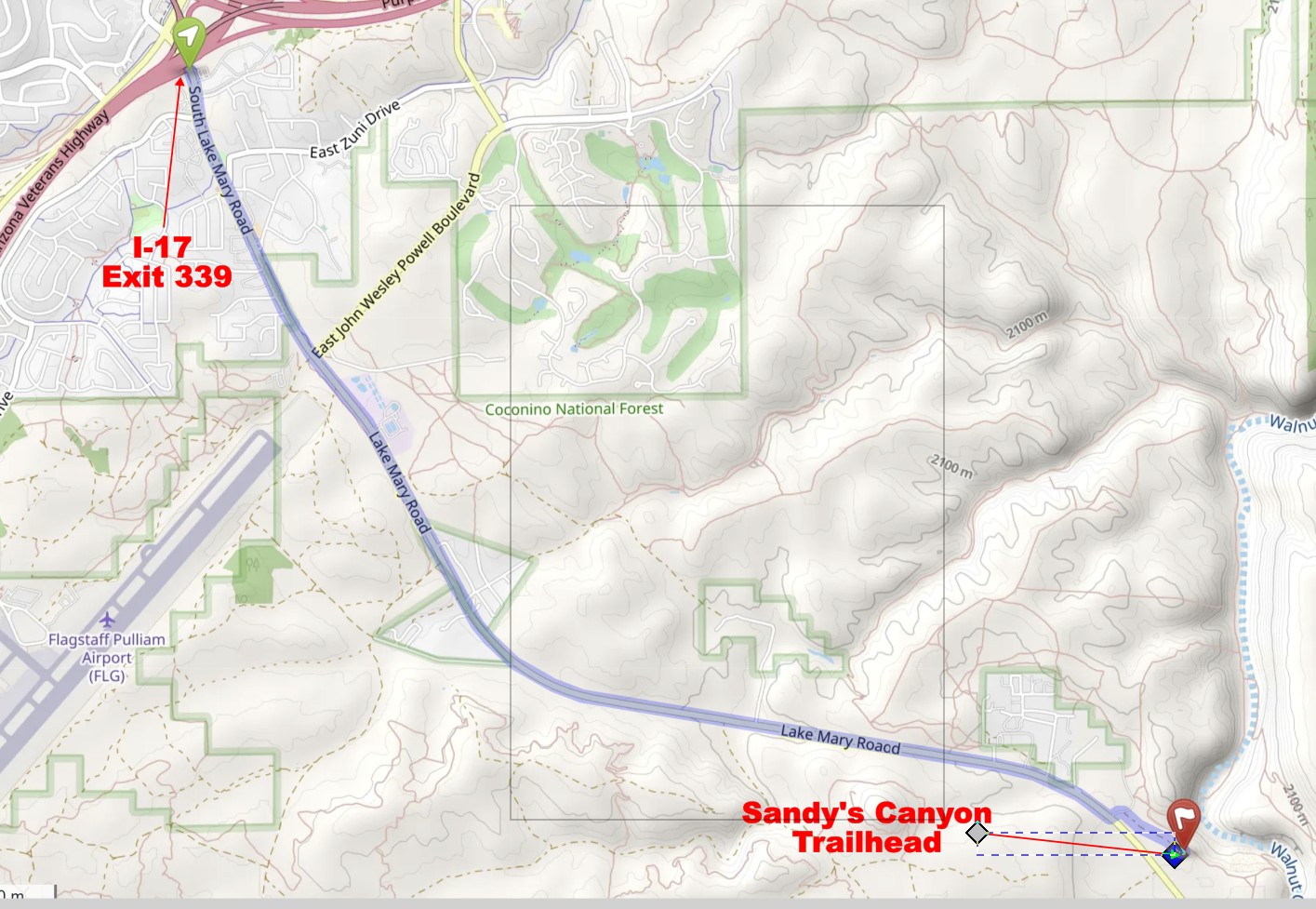
The Sandy's Canyon Trailhead is conveniently located just southeast of central Flagstaff. The area is filled with open forest through a complex series of drainages. None of the drainages is super deep, but there's enough climb on the course to challenge your stamina. The orienteering in the area around Sandy's Canyon Trailhead is some of the best forest navigation in Arizona. We hope you'll consider joining us for another navigation outing in the Flagstaff area.

![[image:O flag]](../Images/Directions.png) Google Map Directions from the I-17/Lake Mary Exit 339
Google Map Directions from the I-17/Lake Mary Exit 339
![[image:O flag]](../Images/Map_pin_icon.png) Google Map Placemark
Google Map Placemark
![[image:O flag]](../Images/FirstAid.png) Safety Plan
Safety Plan