|
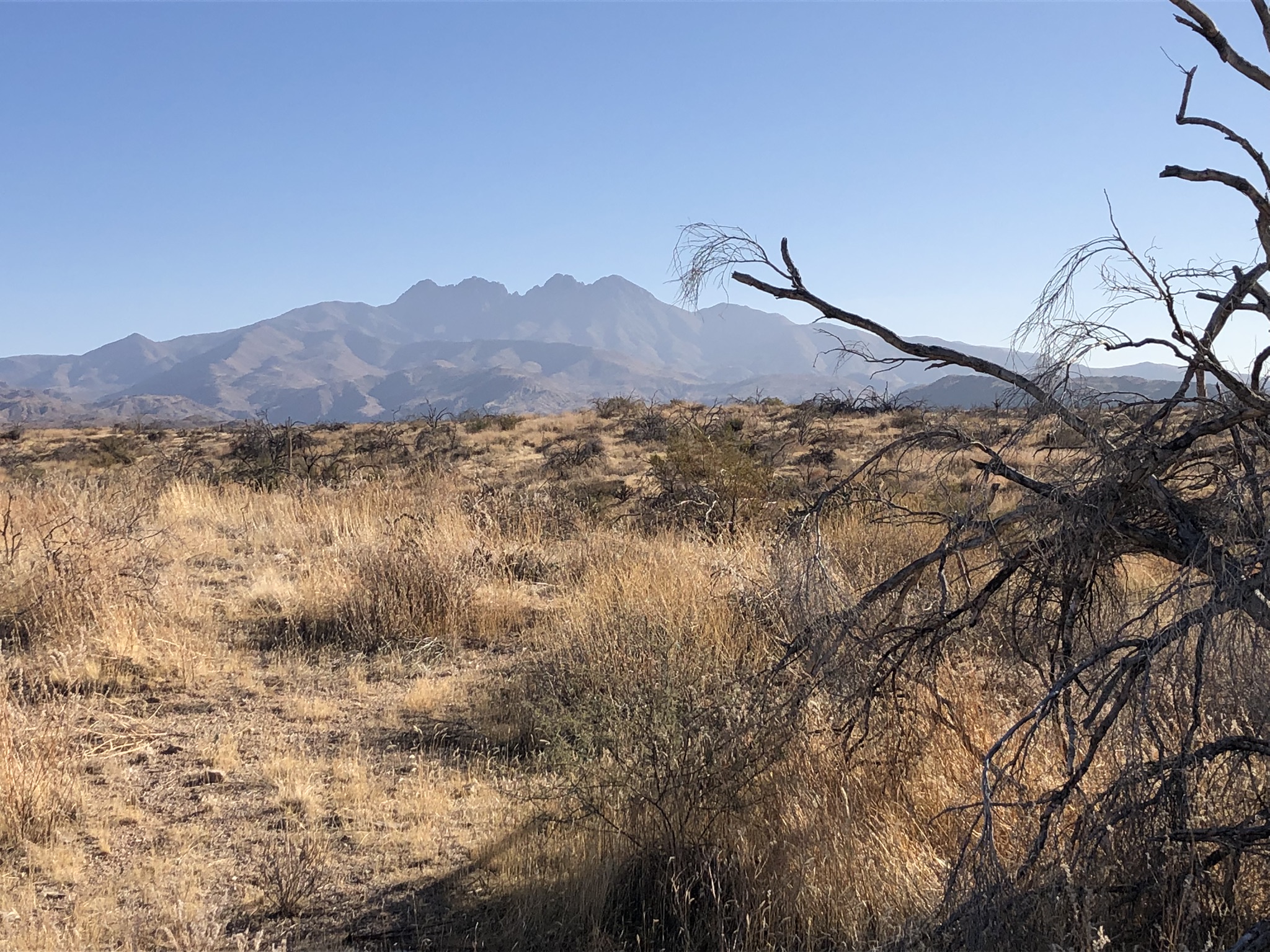
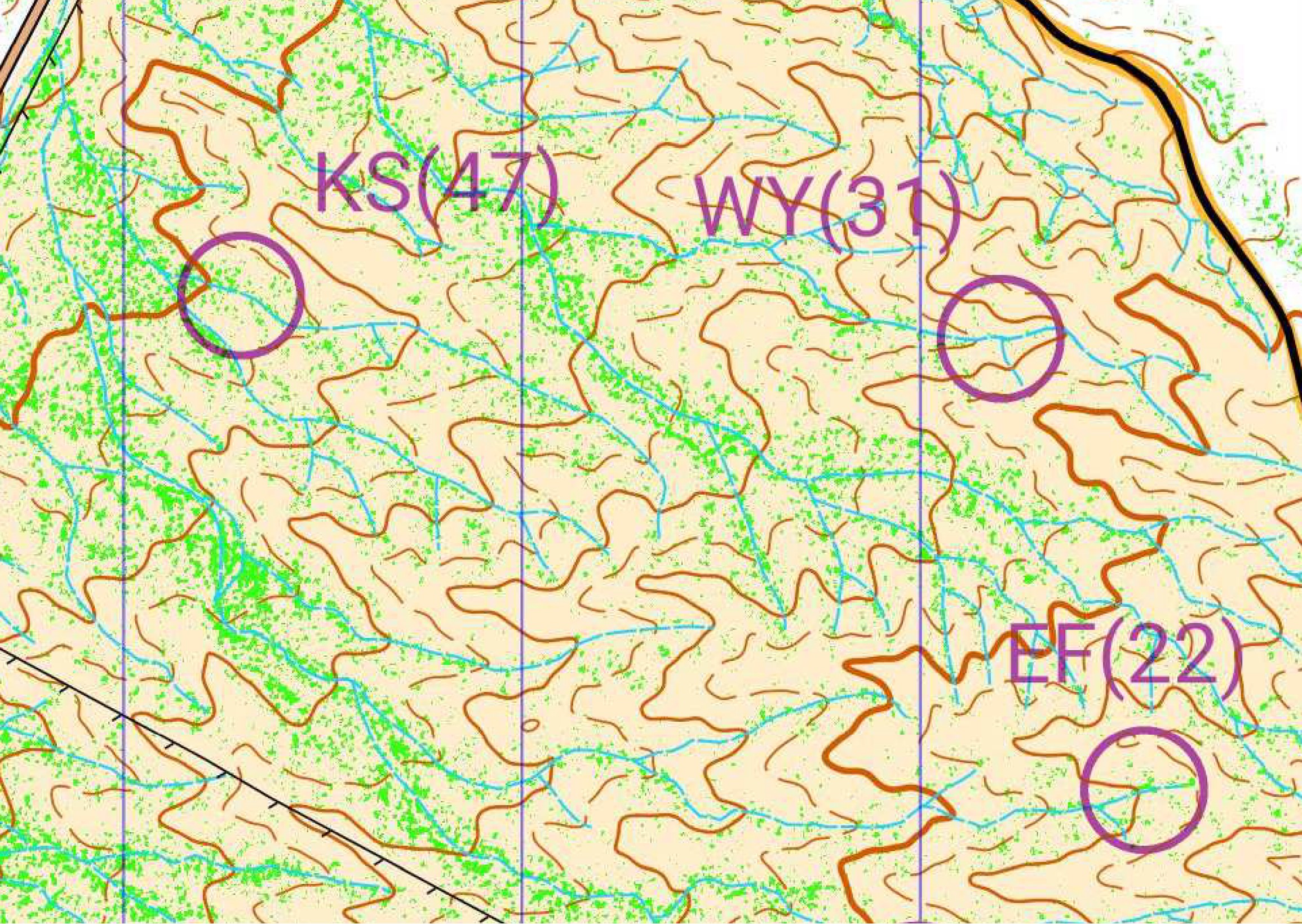
We had a good turnout for another day of navigation fun in the desert surrounding Phoenix. Twenty-seven participants joined us at our newest event site at "The Rolls", starting from the "Four Peaks" off-highway vehicle staging area northeast of Fountain Hills. The Rolls contains terrain that isn't particularly interesting for hiking but is probably the best terrain for navigation challenges in all the areas that we use. The area is filled with a complex network of drainages working their way down the slope towards Saguaro Lake. Near the OHV staging area, the drainages aren't deep - 5-10 meters at the most. As we move closer to Saguaro Lake, the drainages become deeper and steeper, with some cliffy areas approaching 30 meters high.
The best route through the course was approximately 9.1 km long. Andy Wentzel was able to pick his way through the numerous drainages to clear the course in just over 1.5 hours. John and Marcy Beard both nearly cleared the course while finding 19 and 18 controls respectively. Erik Ringnes, Brian Durrell, and Jason Cram each visited 15 or more locations. Dan Yamashiro, Reid Axman, and the Kringles visited half or more of the destinations. Alex Savine gets special mention for covering the most distance. He was (probably) within sight of Saguaro Lake when he decided to rejoin us back on the map. Reports from the participants indicated that the contours and vegetation on the map were quite accurate but the complexity of navigating through the area was a challenge.
We're happy with the navigation practice we were able to present at The Rolls. We hope to expand the map in the future to further explore the terrain. Thanks to everyone who participated and especially to John, Marcy, Greg, Karen, and Gary for helping collect bags after the event. Our biggest payoff for our events is to have people join us for some navigation fun. We hope you'll join us at one of our upcoming events.
|


