Lake Mary
Flagstaff, AZ
Saturday, July 18, 2026

Event Notes


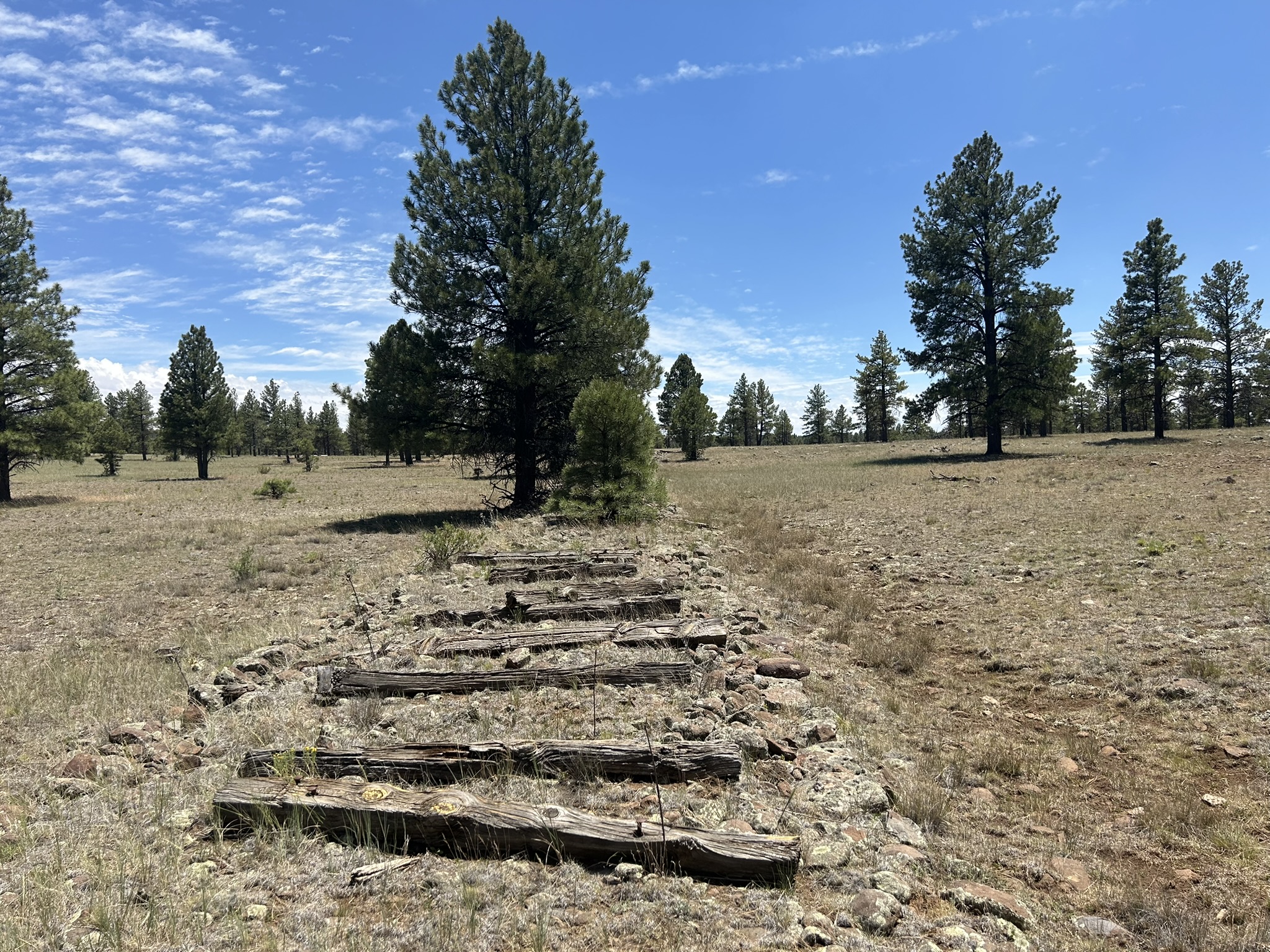
Thanks to everyone who signed up for our 2026 Rim Country Navigation Games at Lake Mary (Flagstaff). We're excited that you've decided to join us for a day of navigation fun at another scenic Arizona location. The rolling terrain and open forest surounding Lake Mary is a nice break from the Phoenix summer heat. The area surrounding Lake Mary doesn't include the steep cliffs that we find at some of our other event sites. One bonus in the area is the wildlife. We saw many elk, antelope, and deer during our scouting of the area. Make sure to bring your camera. You're in for a real treat. We hope you enjoy your visit.

Below are notes for events. Please read the notes carefully as they include important information about the race. Let us know if you have any questions.

The following sections are included below:
1. EVENT LOCATION
2. MISCELLANEOUS
3. SCHEDULE
4. CHECK-IN
5. MAPS, COURSE STATISTICS
6. SCORING
7. GEAR LIST


1. EVENT LOCATION

The start/finish for all events is at the east end of Upper Lake Mary, at the interesection of Lake Mary Road and FS 9485C, between mileposts 329 and 328. The parking area is isolated from the more popular day-use areas on the north side of Lake Mary. Traffic is light early in the morning, but gets busier later. Please note: A Day Pass is NOT required to park at the start/finish.

You will need a pass if you plan to park your car at other day-use areas surrounding Lake Mary. There are kiosks onsite where you can purchase a pass. However, prices at the kiosk are 50% higher than the price if you purchase before you arrive. See the Coconino website https://www.fs.usda.gov/r03/coconino/passes for more information. America the Beautiful passes (Annual Pass, Senior Pass, etc.) are also valid for parking at the day-use areas.

Google Placemark: https://www.google.com/maps/place/35.050425, -111.457038
Directions to the Lake Mary Start/Finish: http://gphxo.org/Locations/LakeMaryEast_Directions.htm

2. MISCELLANEOUS


3. SCHEDULE

Note: Civil twilight is at 4:57 AM. Although the races will take place during daylight, any delays could allow participants in the 12-hour races to return in the dark after sunset. A light source (e.g. headlamp, handheld flashlight, etc.) is required for participants in the 12-hour race.
Sunrise: 5:24 AM
Sunset: 7:41 PM
Civil Twilight Start: 4:57 AM
Civil Twilight End: 8:09 PM
Time Event(s) Location Directions Google
Maps
Safety
Plans
Saturday, July 18, 2026
Sat, Jul 18
6:00 AM
12-Hour Adventure Race
12-Hour Rogaine
Start/Finish/Transition
Opens
Lake Mary East Parking Turnout
Directions Placemark Safety Plan
Sat, Jul 18
6:30 AM
12-Hour Races
Mandatory Briefing
Sat, Jul 18
7:00 AM
12-Hour Races
Mass Start
Sat, Jul 18
7:00 AM
6-Hour Adventure Race
3/6-Hour Rogaine
Start/Finish/Transition
Opens
Lake Mary East Parking Turnout
Directions Placemark Safety Plan
Sat, Jul 18
7:30 AM
3/6-Hour Races
Mandatory Briefing
Sat, Jul 18
8:00 AM
3-/6-Hour Races
Mass Start
Sat, Jul 18
11:00 AM
3-Hour Course Closes
Penalty: 1 point for every 5 minutes you arrive after 11:00 AM.
All points lost for arriving after 11:30 AM.
Sat, Jul 18
2:00 PM
6-Hour Course Closes
Penalty: 1 point for every 5 minutes you arrive after 2:00 PM.
All points lost for arriving after 2:30 PM.
Sat, Jul 18
7:00 PM
12-Hour Course Closes
Penalty: 1 point for every 5 minutes you arrive after 7:00 PM.
All points lost for arriving after 7:30 PM.

4. CHECK-IN

All participants must check in before their race at the event start/finish. In addition to asking participants to sign in, we'll also hand out control cards for the events. During the events, at each "destination marker" (control), participants use a manual punch to record their visit to the control location.

After check in, participants must attend a pre-race briefing at 6:30 AM (for the 12-hour events) or 7:30 AM (for the 3/6-hour events). Please be on time for the mandatory briefings. We'll hand out maps and provide last-minute instructions at the mandatory briefing.

Special Instructions for Adventure Race Events

Please prepare the following for your check-in:

  • Declare if you plan to use a mountain bike for travel during parts of your race.
    Note1: You are not obligated to actually use your mountain bike if you declare your intention. We simply verify your equipment at check-in.
  • Declare if you plan to travel by inflatable watercraft during parts of your race.
    Note2: You are not obligated to actually use the inflatable watercraft if you declare your intention. We simply verify your equipment at check-in.
  • If traveling by inflatable watercraft, each member of the team must show their PFD and inflatable watercraft at check-in.
  • If traveling by mountain bike, each member of the team must show their helmet at check-in.
  • If participating in a 12-hour event, you must show a working light source at check-in.

5. MAPS/COURSE STATISTICS

All participants will receive 5 maps.

  • A tabloid-sized, 1:50000 scale overview map, which shows the location of all maps.
  • A tabloid-sized, 1:30000 scale map of the west side of the course.
  • A tabloid-sized, 1:25000 scale map of the east side of the course.
  • A tabloid-sized, 1:10000 scale map of the west side of the foot part of the course.
  • A tabloid-sized, 1:10000 scale map of the east side of the foot part of the course.
  • All maps are rotated so magnetic north is straight up on the maps. You do not need to account for declination.
  • There is overlap between the smaller scale maps (1:30000, 1:25000) and the larger scale maps (1:10000).
  • The Rim Country Navigation Games at Lake Mary consists of the following sections:

    Section Straight-Line Distance Climb # Controls Notes
    Foot/Bike 52.5km 1000m 37 Note1: For the 6-hour and 12-hour events, you are welcome to use any means to travel to visit the "foot" controls, including travel by inflatable watercraft or bike. If you plan to use an inflatable watercraft or a bike, you must declare your intention at check in.
    Note2: None of the controls are mandatory. For all events, you're welcome to paddle/walk/ride aimlesly around the courses without visiting any of the destination markers.
    Note3: There is nothing that separates the foot controls from other controls. The foot controls are worth 1 point.
    Note4: All bike controls are optional. You may visit as many or as few of the bike controls as you like. You may also use any mode of transportation you like to reach the bike controls.
    Note5: There is nothing that separates the bike controls from other controls. The bike controls are worth 2 points.
    Water 3.75km 50m 5 Note1: For the 6-hour and 12-hour events, you are welcome to use any means to travel to the "water" controls, including travel by inflatable watercraft or on foot. However, most of the water controls are on the banks of the lake and are easier to reach using a watercraft or by swimming. If you plan to travel on the water, you must declare your intention at check in.
    Note2: None of the water controls are mandatory. For all events, you're welcome to paddle/walk/ride aimlessly around the water course without visiting any of the destination markers.
    Note3: There is nothing that separates the water controls from other controls. Controls are numbered either 100-199, worth one point, or 200-299, worth two points. The water controls are worth 2 points.

    Additional Map Information

    • Rogaine Maps All maps are Rogaine-style maps. We have done a minimal amount of field checking of the maps. You can expect unmapped cliffs, boulders, fences, washes, game trails, etc.
    • Game Trails There are some game trails. We have not mapped most of the game trails. Some of them could be excellent for traveling between two points. The game trails are sometimes useful when ascending/descending steeper areas of the terrain.
    • Blue Stream Lines Except for the solid blue color representing Lake Mary, ALL blue lines represent where water would flow if there were water in the area. Falling rain tends to dig channels in the terrain. The blue lines on the map represent streams, washes, arroyos, re-entrants, whatever you'd like to call them. We hope you'll accept this obvious difference between our deserty maps and the cool maps you have in your fancy-dancy forested areas where you actually have running water.
    • No UTM Plotting None. Nada. Negatory. We don't like creating UTM maps, you don't like UTM plotting, so we have no UTM work during the event.
    • Declination All maps include magnetic north lines. Don't bother learning the declination at Lake Mary. You don't need to know it. And, if you have a declination dialed into your compass, go ahead and adjust your compass back to 0 degree declination. Really. Seriously. Our maps include magnetic north lines, so if you have a compass where you can adjust the declination, you want to adjust the declination to 0 degrees.

6. SCORING

  • Overview Map 42 controls available. Controls numbered 101-125 are worth 1 point. Controls numbered 201-214 are worth 2 points. The scoring applies to both the adventure races and to the rogaines.
  • All controls optional There are no mandatory controls to visit. You can visit as many or as few of the controls as you like.
  • Ranking Teams are ranked first by number of points and then by elapsed time. If two teams have the same number of points, we'll use elapsed time to make the final ranking.
  • Penalties For all courses, we will apply a 1 point penalty for each 5 minutes a team arrives after the cutoff time. For example, a team on the 6-hour event arrives after 6:00:00 hours on the course, no penalty is applied. A team arriving after 6:00:01 will receive a 1-point penalty. A team arriving after 6:04:59 receives a 1-point penalty. A team arriving after 6:05:00 receives a 2-point penalty.
  • Disqualification We'll mark teams arriving 30 minutes or more after the course cutoff time as disqualified.

7. GEAR LIST:

Mandatory Race Gear

Carried by each participant at all times.
  • Whistle
  • Compass
  • Water carrying capacity for 2-3 liters.
    Water is available at the start/finish, at the remote aid stations, and up to 8 locations on the course. Most of the water stations are at distant controls further from the start/finish. We suggest you bring some type of water purification (filter straw, filter, tablets) for emergency water from Lake Mary itself.
  • Space blanket. (For emergencies. 12-hour events only.)
  • Cell phone. (For pictures or emergency calls. One per team. Not for navigation. Use for navigation will result in disqualification.)
  • First aid kit. (Mandatory for 12-hour events only. One per team.)
  • Water purification tablets or filter. (Mandatory for 12-hour events only. One per team.)
  • Waterproof map holder. (Maps are not waterproof.)
  • Light source like a flashlight, headlamp, etc. with fresh batteries. (12-hour events only)
    The 12-hour events will finish near dusk.
    Participants must carry a light source for safety.

Mandatory Bicycle Gear

For the 6-hour and 12-hour events, using a mountain bike is optional. At check-in, you must declare if you plan to travel by mountain bike. The following gear is mandatory for those who will include travel by mountain bike.
  • Mountain bike. You will find it easier to hit cutoff times if you use a bicycle to travel to the distant bike controls.
  • Helmet
  • Bike tool kit (At least one per team.)
  • Spare tube. (One for each bike.)
  • Bike lock (optional). You will have to drop your bike and travel on foot up to 100 meters for all controls. None of the controls are accessible from a road or trail, so you won't be able to ride up to the controls themselves.

Water Gear

For the 6-hour and 12-hour events, use of inflatable watercraft is optional. The 5 water controls are shown on a map that participants receive at the remote aid station. Participants traveling over the water are required to have a PFD, even if they choose to swim across the lake.

There is no prescribed water course. Five controls are located on either side of the lake. The most efficient route to collect all the water controls could have participants cross the lake up to 5 times. There are no mandatory paddle sections. Participants are allowed to portage their watercraft as needed.

At check-in, you must declare if you plan to travel by inflatable watercraft or swim. The gear listed below is required for those who will include travel by watercraft.

  • Any type of inflatable, non-motorized watercraft. This could include an inflatable kayak, packraft, paddleboard, etc. You are also allowed to use fins and swim. You will likely carry the watercraft up to 5 kilometers on foot or by bicycle. You should not inflate your watercraft before the race.
  • Personal floatation device (PFD). Each participant must have their own PFD. This is in addition to the inflatable watercraft itself.
  • Waterproof bag. For transporting gear that you don't want to get wet while you travel on the water.

Recommended Gear

  • Sun screen. There is shade throughout the course. We were left with a blistery sunburn after we set the controls. We encourage you to protect yourself from sunburn.
  • Leg gaiters, especially for off-trail travel. There are minimal prickly plants, but some noxious plants as well as foxtail grass could add to your annoyance. Leg gaiters could help.
  • Duct tape.
  • Lightweight rain jacket (rain is in the forecast).
  • Extra clothing layers. It's likely to be in the high 50's at the start of the 12-hour events. Daytime temperatures are expected in the mid 80s.

Not Allowed

  • Any device that uses a satellite connection for navigation, distance, or elevation. This includes standalone GPS units and GPS watches. You are allowed to use a GPS unit for recording your track, but you must not use any of the navigation functions of the unit during the race. We will disqualify any racer using a GPS unit for navigation during the race.
  • Motorized bicycles (electric, gas, etc.) (Do we really have to tell you?)