![]()
Gates Tank (Prescott, AZ)
|
Summary | ||||
Time | Event(s) | Location | Directions | Google Maps |
Sat, May 3 8:00 AM - 2:00 PM |
Classics (Classics Description), Motala (Motala Description) |
Gates Tank (Prescott, AZ) | Directions | Placemark |
Gates Tank |
![]() |
Classics/Motala
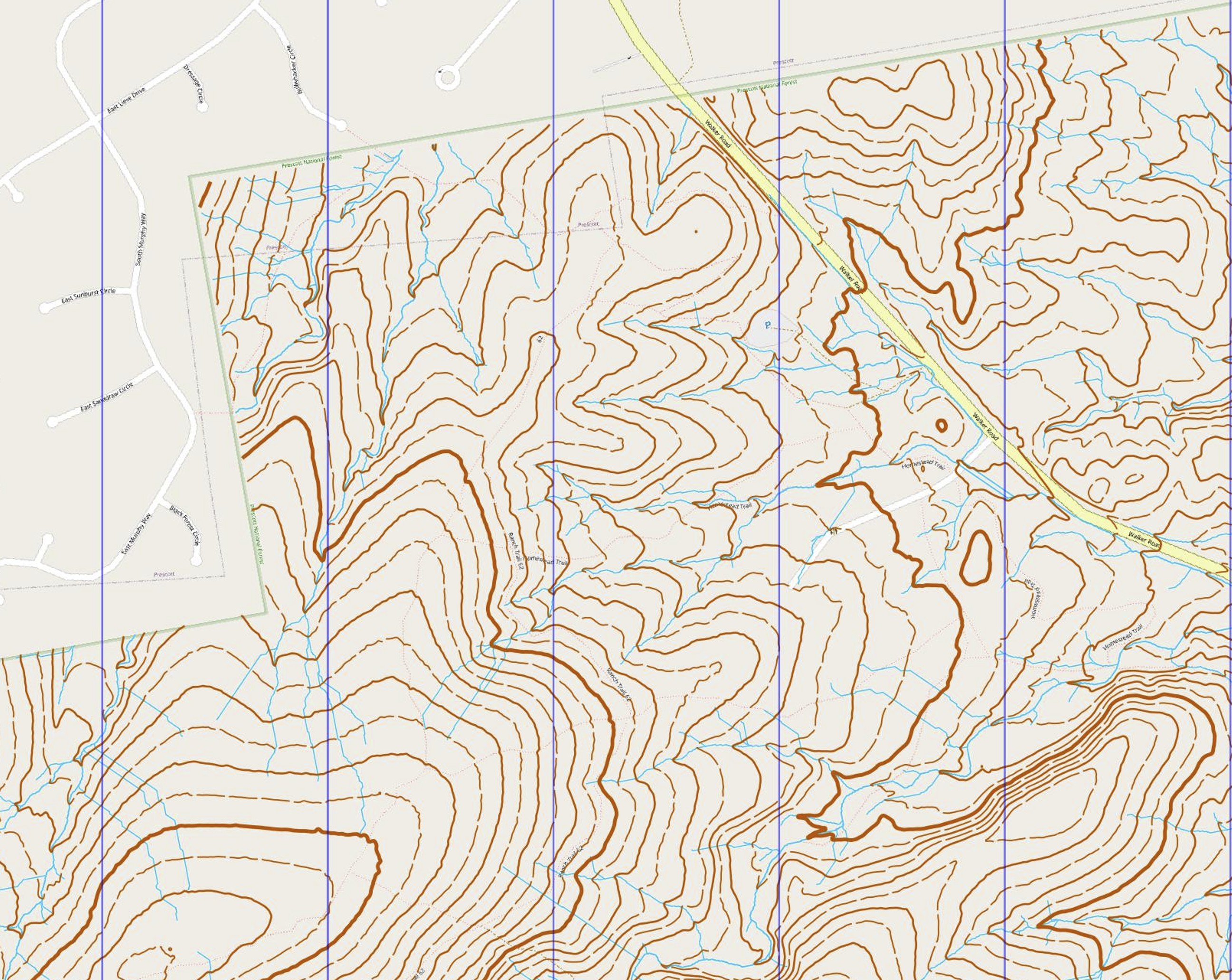
Gates Tank is located in the pine forest on the east side of Prescott Arizona. The terrain is normally covered in thick brush, but due to recent clearing, most areas are open with scattered trees, offering excellent visibility. These areas are “runnable”, but there is a lot of small wood debris on the ground from the “forest masticator” machine, so the ground isn’t quite even. We will be offering 4 classic courses (Yellow, Green, Red and Blue) and two classes of Motala courses at this event. The Red and Blue courses are printed on the same map. Control 7 on this map is a decision point: for the Red Course, skip controls 8, 9 and 10 and complete the course with controls 11-16. For the Blue course, visit all 16 controls. You do NOT have to choose your course option in advance; you can make up your mind when you get to Control 7. Hopefully, this will all be clear when you see the map and punch card. The Motola courses require completing all three maps: Yellow, Green and Red/Blue. Motala-Red uses the Red course option and Motala-Blue uses the full Blue course. Again, you don’t have to pick which Red/Blue option you want in advance. Please note that the Motalas are in the 4 to 6 hour length category, so allow adequate time to complete the courses before the event closes at 2 PM. There is no water on the courses, so please bring enough water to complete your course(s). The southern part of the Green and Red/Blue maps include a network of distinct motorcycle trails. These are mapped, but may not be very efficient for navigation. Part of your route planning will need to consider how (or if) these trails are to be used. You may encounter a few motorcycles on these trails. Because the ongoing forest mastication project is a moving target, vegetation markings on the maps are very limited. There are only a few green areas mapped that may affect your approach to a control. Do not expect consistency! Boulders are not mapped. |
Sign-In and first starts begin at 8:00 AM. The last time to start a course is 12:00 PM. The courses close at 2:00 PM. |
Map scale is 1:10,000, 5-meter contours interpolated from 1/3 arc-sec USGS elevation data. That is, the contour data are pretty good, but not the same detail as you get on some of our other maps. |
Course | Distance (km) |
Climb (m) |
Number of Controls |
Equivalent Distance(km) |
Estimated Course Time @11min/eqkm |
Yellow | 2.1 | 70 | 9 | 2.8 | 31 |
Green | 4.6 | 150 | 11 | 6.1 | 67 |
Red | 7.1 | 205 | 13 | 9.2 | 101 |
Blue | 8.9 | 325 | 16 | 12.2 | 134 |
Motala-Red | 13.8 | 425 | 33 | 18.1 | 199 |
Motala-Blue | 15.6 | 545 | 36 | 21.1 | 232 |
NOTE: Online Sign-up/Pre-payment is required. We will not provide on-site sign-up. By signing up before the event, you allow us to print the correct number of maps for the event.
Click
|
Individual events at Gates Tank cost $10 per person. The Motala costs $15 per person. Please sign-up and pay through our online sign-up site here. Members get a $5/person discount.
Parental Consent Now Required (Click here for more information)
All participants under age 18 are now required to have a signed parental consent form on file with the club. You can complete the form before the event and either scan it and send it to us by e-mail or bring it with you to the event. |
08:00 AM |
Check-in: Location: ![]() |
08:30 AM | Courses Open |
12:00 PM | Last time to start a course. |
2:00 PM | Courses Close. Participants must complete any of the classic courses by this time. We will start picking up bags at this time. |
Details of our Classic events are found here.
Details of our Motala are found here.
It is best if participants can provide their own compass. Suggested models include the Suunto A-30 and the Silva 360 Explorer. Other models are acceptable as long as they have a flat baseplate. We will provide compasses for those who do not have their own. |
Whistle | Participants at orienteering events are required to carry a whistle. Since orienteering involves navigating off-trail, participants can sometimes travel to areas that are rarely visited by other users of the area. The whistle is a safety precaution which allows orienteering participants to signal their presence to others in case of an emergency. |
Compass | We prefer participants to bring their own compass. This will allow them to learn techniques during the training, then practice the techniques further at home. We will provide compasses to those who are not able to bring their own. |
Sun screen. | In early January, the sun at 10:00 AM is already high enough to be an issue. Even though we are starting fairly early in the morning, we suggest you apply sunscreen to avoid burning. |
Water | There will be water at the start/finish . You may also want to bring your own water bottles or a camelback. |
Sturdy hiking shoes and Long pants |
The classic courses involve hiking off trail, sometimes in areas with thick brush. |