|
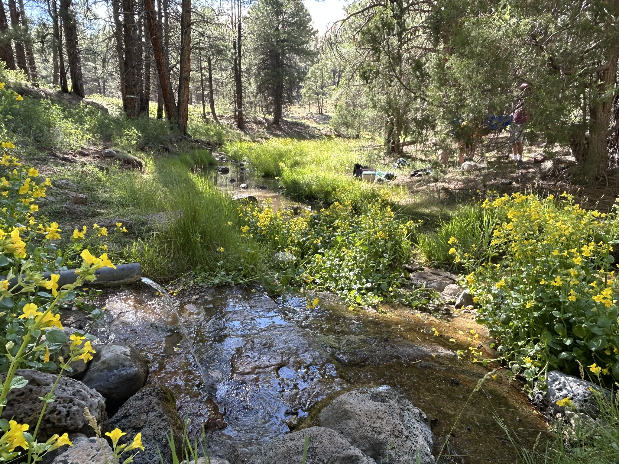
We're excited to open another new event site for your navigation entertainment. On Saturday, July 18, we'll take you to Lake Mary, a well-known recreation site a few miles southeast of Flagstaff, AZ. The area surrounding Lake Mary is filled with rolling hills and ponderosa pine forest. Several drainages cut through the area to provide interesting relief. During the day, we're offering five events:
-
6-Hour and 12-Hour Adventure Race
During the adventure race, teams of 1-4 members navigate to as many destinations as they can on foot and optionally by mountain bike or inflatable watercraft. At the start of the event, we'll provide participants with one or more maps showing locations for all of the destinations. Participants choose themselves how they wish to travel to the different points. While most of the destinations are accessible on foot, a few are best accessible by watercraft and some are located at distances that are best accessed by bike.
Note: Only inflatable watercraft are allowed. You'll have to carry the watercraft several miles just to get to the water section. If you want to visit checkpoints that are best accessed by watercraft, you will haul the watercraft on foot or by bike. Inflatable packrafts are a good option, as well as inflatable paddleboards and even inner tubes. You could also swim short sections of the lake, if that's what you feel you'd like to do. The water section won't require major paddling, but you'll obviously travel faster with a paddle of some sort.
PFDs are required for all participants that travel over the water, including those who choose to swim.
For all checkpoints, all members of a team are required to travel to the destinations together. Participants must never be separated by more than 50 meters.
-
12-Hour Rogaine
The 12-hour Rogaine is a special category of the adventure race. Participants in the 12-hour Rogaine use the same maps as the adventure racers. The main difference is that participants in the 12-hour Rogaine only travel on foot. Several of the watercraft destinations are difficult (but not impossible) to reach on foot. In addition, several of the bike controls are placed at distances more easily reached by bike. Participants in the Rogaine visit as many of the destinations as they can in the 12-hour limit.
-
3-Hour, 6-Hour Rogaine
In the 3-hour and 6-hour Rogaine, participants have up to 3/6 hours to visit as many of the controls as they can on one or more maps.
Additional Points:
-
Pre-Race Briefing
Each of the events includes a pre-race briefing. The briefing for the 12-hour events is at 6:30 AM. The briefing for the 3-hour and 6-hour events is at 7:30 AM. Please be on time for the briefings. We'll hand out maps and provide last-minute details at the briefings.
-
For all events, team members must remain within 50 meters of each other at all times. Team members must arrive at each checkpoint together. There is no sending one person off to punch the control card while the rest of the team takes a break.
-
All checkpoints are optional. You're welcome to visit as many or as few of the controls as you like.
-
For all events, controls closer to the start/finish are worth 1 point. Five "water" controls and eleven "bike" controls are worth two points apiece. The "water" controls are not shown on the maps provided at the start of the event. A special water map is provided at an aid station on the course.
-
Penalties apply for late arrivals. We will subtract 1 point for every 5 minutes you are late. For example, for the 6-hour adventure race, arriving one second over the 6-hour limit, we'll subtract 1 point. Arriving at 6:04:59, we'll subtract one point. Arriving at 6:05:00, we'll subtract two points.
-
The events start near at the junction of Lake Mary Road and FS 9485C. Coming from Flagstaff, the start is halfway between mileposts 329 and 328. Look for orange and white orienteering signs near the junction.
|


![[image:O flag]](../Images/Register.png) Pre-Signup/Pre-Donation (Required)
Pre-Signup/Pre-Donation (Required)